
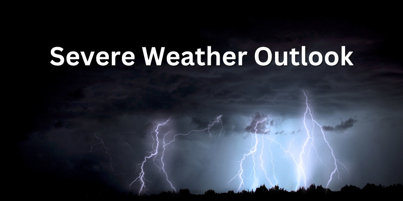
Retrospective: Deadly Western CT Flash Flood Event of 8-18-2024
My goal with this retrospective is to do the best I can to explain my thought process through this historic event from start to finish, and hopefully provide some semblance of insight for those asking “why” or “how” this flood event occurred. There’s certainly things I would have [...]

Update: Tropical Storm Debby
Latest thoughts on Debby: While showers will be around tomorrow, the peak of the stormy weather looks like it will be Friday afternoon through early Saturday morning. Short range models should get a better handle tomorrow, so we can narrow the timing even further. Here is a summary of [...]
Thunderstorm Threat Discussion: Targeting Friday 6-14-24
Increasing temperatures late this week will create fuel for thunderstorm development Friday. As it stands right now, this setup is well-placed and well-timed for strong to severe thunderstorms throughout the region. Keep a close eye on this setup for Friday afternoon. Instability noted below on European model as well [...]
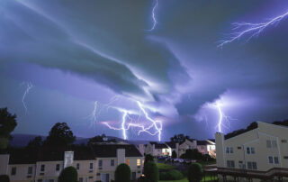
Raise the Volume: Why is the Thunder so Loud Sometimes?
Thunderstorms in New England can occur in any month, but are most common in the spring and summer. While the strength and ice content of a thunderstorm can influence the overall amount of lightning, people often don't realize that the sound from a thunderstorm can also fluctuate based on [...]
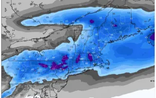
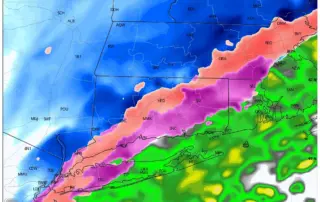
Breaking: Snow Potential Sunday into Monday 1-28-24
Models have trended colder and snowier for the late weekend forecast, with the Euro ensembles beginning to indicate a stronger signal for plowable snow across the region. With a slower track, more cold air is able to work into the storm, creating a recipe for snow across Southern New [...]
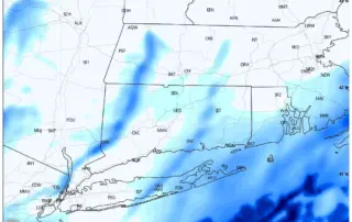
Light Snow 1-19-24: THE LATEST
Good morning! Forecast is generally on track for Friday, with light snow falling through much of the day. Expect the steadiest snow to fall late this morning through 3PM or 4PM, although light snow showers may linger through the evening. The only feature I am watching with interest is [...]
Hazardous Travel Tuesday Afternoon and Evening
Travel will be very slick this afternoon with temps in the mid to upper 20s along with sleet and freezing rain. We are getting widespread reports of freezing rain throughout CT and very hazardous travel. Precip switches back to snow and ends from 3PM to 5PM. Use caution if [...]