")

")


")

")


")

")

LATEST HEADLINES

POPULAR CONTENT


INTERACTIVE STATION MAP
LATEST 7 DAY FORECAST
Weather Forecast Provided by NWS ©
FORECAST MAPS AND INFORMATION
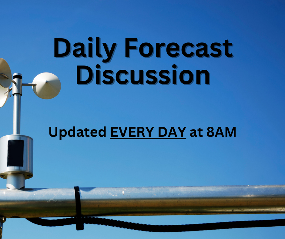
Daily Detailed Forecast Discussion
Daily detailed forecast discussion written by our meteorologists and updated EVERY DAY at 8 AM.
Detailed Forecast by Towns
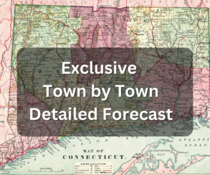
Detailed weather outlook for your location! Select your town to view the latest local forecast.
Latest Blog Posts
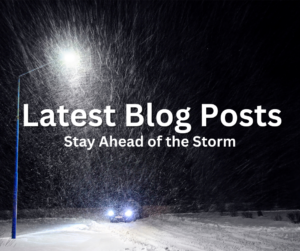
Stay informed with the latest weather forecasts and updates on our blog, featuring detailed analysis and timely predictions.
Current NWS Alerts

This map allows users an interactive look at all current NWS alerts. Click on the alert for pertinent info.
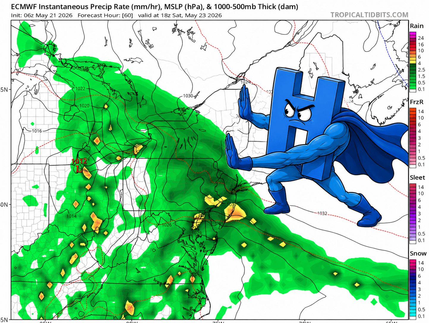
Latest “Old School Weather Maps”
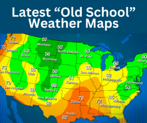
These charts are throwbacks to the classical weather maps of old, but are still very useful as a high level summary.
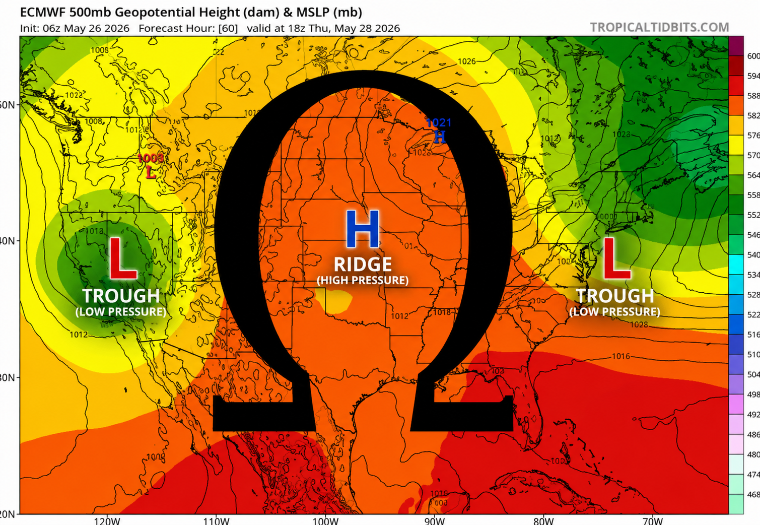
Long Range Outlooks
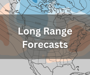
Long Range Outlooks from the Climate Prediction Center will provide an generalized idea of weather conditions one week to one month away.
SATELLITE AND RADAR
Water Vapor Image

This product allows you to visualize the amount of moisture in the atmosphere.
Geocolor Satellite Image

This will allow you to view geocolor satellite. Click to view latest eastern U.S. images loop.
Infrared Satellite Image

This product will allow you to view the infrared satellite. Click to view latest eastern U.S. images loop.
New York Local Radar

This National Weather Service Radar from Brookhaven, NY covers all of the area and will provide a way to track storms.
Boston Local Radar

This National Weather Service Radar from Boston covers all of the state and will provide a way to track storms.
NJ Local Radar

This National Weather Service Radar from NJ covers all of the state and will provide a way to track storms.
CT STORM CENTER
Local Storm Prediction Center Maps
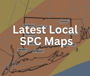
These maps provide a detailed synopsis of severe weather risk. Map size is zoomed for an easy visual of CT.
Interactive Severe Risk Map
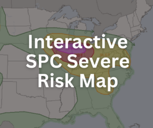
This interactive map allows the user to zoom in to any city in the United States to see the Storm Prediction Center Severe Risk forecast.
Interactive Tornado Risk Map
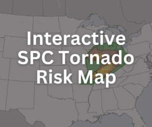
This interactive map allows the user to zoom in to any city in the United States to see the Storm Prediction Center Tornado Risk forecast.
Excessive Rainfall Outlook
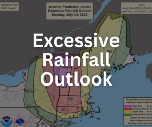
The WPC Excessive Rainfall Outlook provides probabilities for Flash Flooding in the coming days
Historic CT Flooding Events
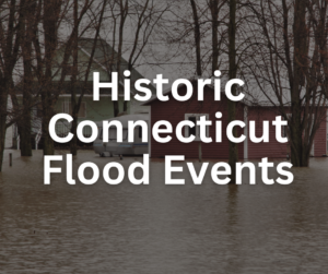
A list of some of the most infamous floods in CT history with links to articles with more details
Historic CT Severe Events

A list of some of the most infamous severe weather and tornado events in CT history with links to articles with more details
IAN ALERTS AND CANCELLATIONS
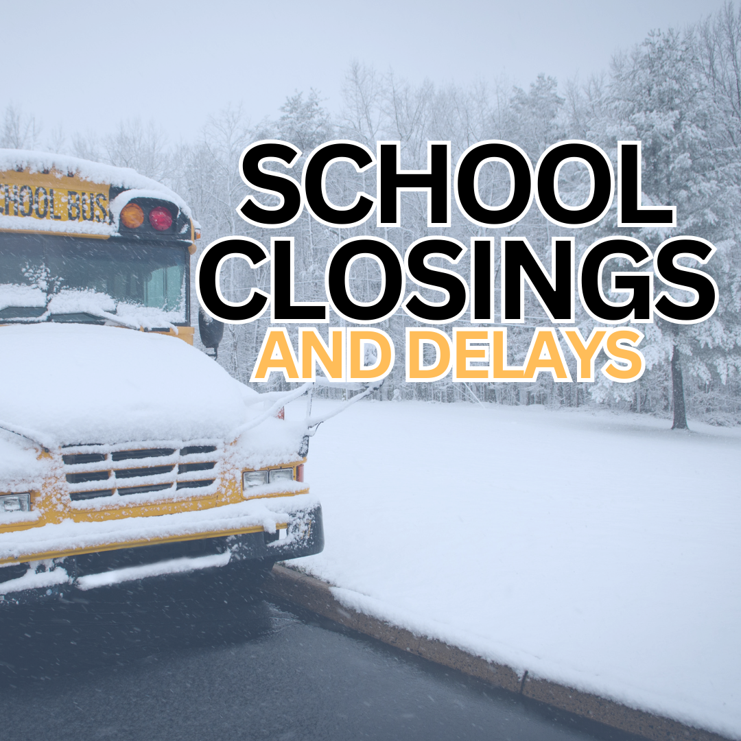
IAN School Closings
IAN Library Closings

IAN Business Cancellation

IAN Learning Cancellations

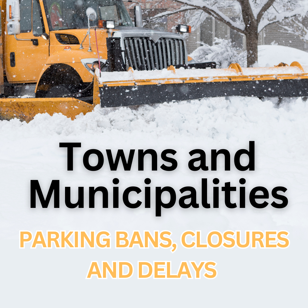
IAN Municipalities
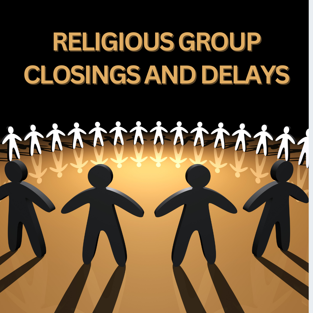
IAN Religious Group
PROUD TO SERVE
Active Alerts CT
Winter Services
IAN ALERTS
Storm Reports
Forensic Services
Media Inquiries
Our Weather Station: Danbury, CT

Awards and Recognition

Social Media