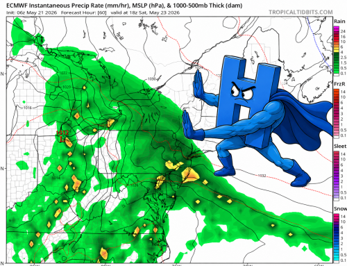
On a seemingly ordinary Saturday in western Connecticut with a ‘few showers’ in the forecast during the afternoon, a line of mostly regular showers unexpectedly gave rise to a powerful gust front, leading to significant wind damage across the area. While gust fronts are typically associated with stronger thunderstorms, they can also form from less intense weather phenomena, such as “regular” showers. For the record, there was some lighting with this line, but it was very isolated.
What is a Gust Front?
A gust front is the leading edge of cool air that rushes down and out from a shower or thunderstorm. This can also be referred to as an outflow boundary. When rain-cooled air descends rapidly and spreads out upon hitting the ground, it creates a boundary of gusty winds that can travel significant distances from the original storm.
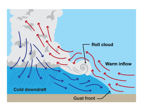
General structure of a downdraft and gust front – Credit NOAA NWS
Formation of the Gust Front
In Western Connecticut, the gust front formed from a series of showers rather than a full-blown thunderstorm. As the showers moved through the area, rain-cooled air descended rapidly. There was some instability between airmasses and a southerly flow was noted out ahead of the system. This downdraft hit the ground and spread out in all directions, creating a gust front. The process can be likened to pouring water onto a flat surface; the water spreads out quickly, just as the cool air did.
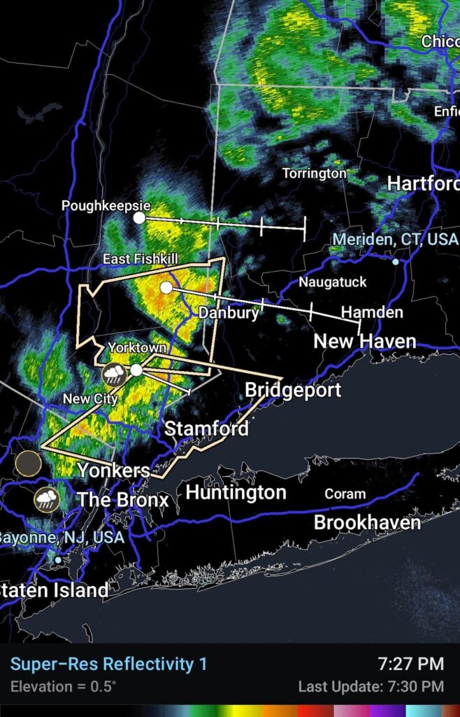
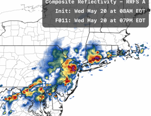
Radar grab of showers coming into the area 7:30PM – Credit Storm Chaser Eli
Impact and Wind Damage
As the gust front moved through Western Connecticut, it brought with it a sudden shift in wind direction and a significant increase in wind speed. The gusts seemed to be angled downward, and reached the ground at full power. These gusty winds were strong enough to cause damage to trees, power lines, and even some structures. The rapid change in wind conditions caught many residents by surprise, with the question “Was this a tornado??” posed to me several times on social media.
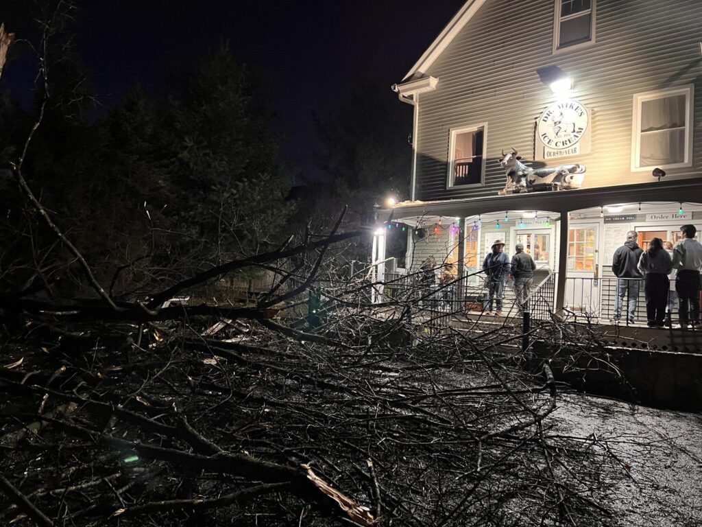
Tree down in the parking lot of Dr. Mikes Ice Cream in Bethel, CT. Thankfully no injuries were reported! Credit Erik Ofgang
From a forecasting perspective, the recent event in Western Connecticut was certainly a reminder for me personally of how fast conditions can change, and how careful I need to be with forecast wording. It’s easy to just write off a quick line of transient showers as.. well.. just a few showers, but it is always better to focus on potential impacts holistically. Never underestimate a March cold front! Thanks Jhon Pachar at JLP Pro Services for this photo and for sponsoring this article. Visit them https://jlpproservices.com/.

Roof damage to a building on RT 25 in Monroe after gust front – Jhon Pachar