Unfortunately, a classic weekend washout is on the way. Feels straight out of this spring’s playbook.
Luckily however, some will avoid the rain until Saturday night, and some may not see it until Sunday. The difference of having rain during the whole day on Saturday and staying completely dry will come down to a 20–30-mile difference in location. This is all thanks to an area of high pressure positioned to our northeast, and for some, it will be their superhero Saturday.
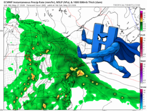
By Saturday morning, a large system will have pushed rain into the Mid-Atlantic and much of New York State.
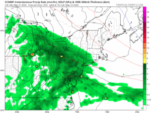
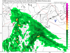
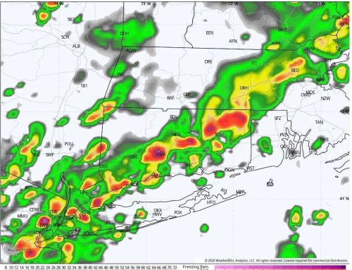
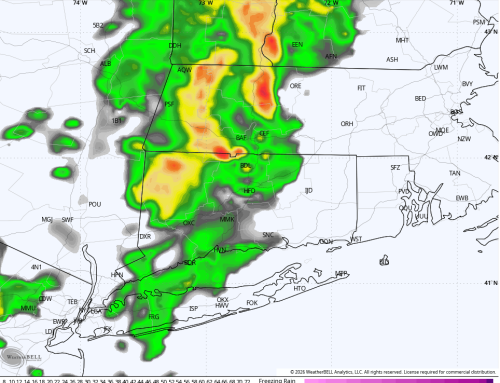
ECMWF model precipitation rate for 11 am and 5 pm Saturday.
By midday Saturday, some light rain may be falling in western areas of CT. However, even by 5 pm, eastern areas may still have not seen any rain. In addition, the heaviest precipitation rates are still centered over New York at this time, despite being close by all day.
This slow progression of precipitation is due to the presence of a strong area of high pressure. The closer to the high-pressure area you are, the more the air wants to sink. Sinking air generally promotes fair weather, as the motion of air upwards to produce precipitation is greatly suppressed. As a result, this high pressure will act like a wall for the oncoming low-pressure system.
Unfortunately, this high-pressure system will only be able to hold its ground for so long, and eventually the entire state, and the rest of New England, will end up seeing a lot of rain.
Despite this, we can clearly see how much work this blocking will do to save us from the worst of the rain on Saturday.
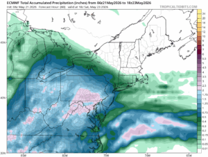
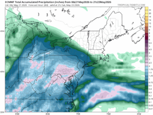
ECMWF model total precipitation for 2 pm and 5 pm Saturday.
The “wall” will hold pretty strongly into Saturday afternoon, as only a few tenths of an inch of rain will have fallen in western areas by 2 pm, and central and eastern areas will have mostly seen light rain or drizzle.
By 5 pm, a solid amount of rain will have fallen for western and central areas, with eastern areas still avoiding it for the most part.
Of course, this is a single model, and no model will be perfect. With how fine of a boundary we’ll be dealing with, the conditions in a given area can end up vastly different from what the ECMWF shows here. But no matter where the boundary holds for most of the day, the general picture of what is going on will remain the same. Some will lose their Saturday, while others, far enough East, will stay relatively dry until Saturday night.