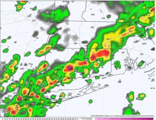
After a sunny start, clouds will increase later today with highs near 80°F. A few showers are possible this evening, but the better chance for rain arrives tonight into early Friday, along with a few thunderstorms. Doesn’t look like a major deal, but cannot rule out some heavy downpours into the early Friday morning commute. Any residual shower activity ends by mid Friday morning.
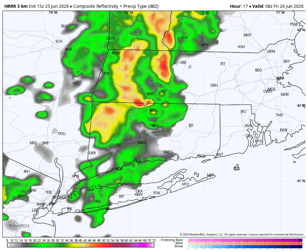
HRRR Model 3AM Friday Morning – Showers Moving Through
Friday will be warm and humid with a mix of sun and clouds. Another round of showers and thunderstorms is possible late Friday night into midday Saturday. We are on the edge of this system, so there is still a chance most of Saturday stays mainly dry.
Conditions improve Saturday afternoon as skies gradually clear and humidity drops. The pick of the weekend is Sunday, with sunshine, comfortable humidity, and seasonable temperatures continuing into early next week. Lots of 80s in the forecast next week!