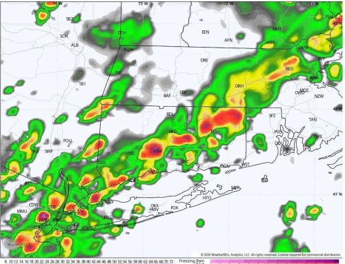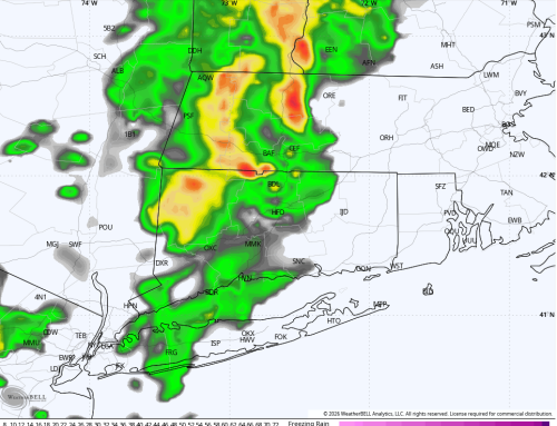
A cold front swept through the region overnight, leaving behind a few lingering showers across southeastern Connecticut and Rhode Island early this morning. Those final showers will taper off shortly after sunrise, setting the stage for a gradual return to quieter weather conditions.
🌬️ Today: Clearing and Comfortable
Behind the departing front, winds will ease through the morning and drier air will take hold. Expect a mix of sunshine and passing clouds through the afternoon. A few showers are possible in SE CT. Temperatures will top out in the low to mid 60s — a touch below average for mid-May — but overall it should feel quite comfortable, especially with the improving conditions.
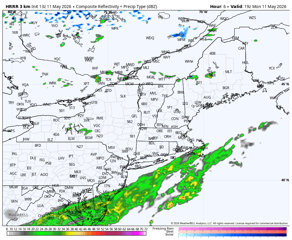
Future Radar Monday Afternoon – HRRR Model
☁️ Tuesday: Increasing Clouds, Still Dry
Tuesday looks like a transition day. While it should remain dry for most of the day, cloud cover will gradually increase ahead of the next approaching storm system. It’s a good day to get outdoors before the next round of unsettled weather arrives.
🌧️ Midweek: Rain Returns
The most active portion of the forecast arrives midweek:
- Late Wednesday into Thursday: Expect widespread showers to develop across Connecticut.
- Periods of steady rain are likely, with rainfall totals approaching around 1 inch in some areas.
- There is also the chance for a few rumbles of thunder Wednesday night into early Thursday.
- At times, heavier downpours could occur, especially overnight.
By Friday, conditions may begin to improve, although some lingering showers are possible. Cooler air aloft may keep things a bit unstable, but there are indications the system could exit faster than expected. For now, Friday trends partly cloudy with decreasing rain chances.
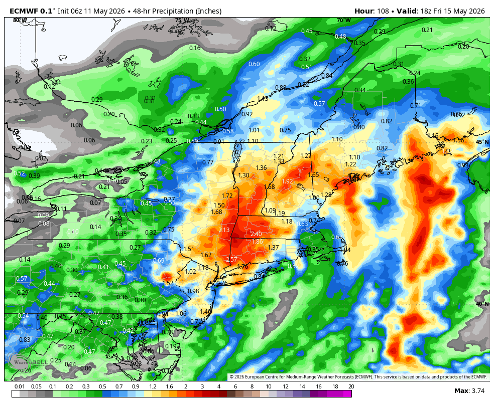
European Model Total Rainfall Wednesday through Friday
🌤️ Weekend Outlook: Turning Warmer and Dry
The forecast takes a much more favorable turn heading into the weekend:
- Saturday: Dry, mild, and increasingly sunny with highs well into the 70s.
- Sunday: Even warmer, with inland areas reaching the upper 70s to lower 80s.
Coastal communities will likely stay a bit cooler due to the ocean influence, but overall, the weekend is shaping up to be pleasant and springlike — a great opportunity to get outside.