Connecticut faces a marginal to slight risk of severe weather today, as a warm and unstable air mass builds across the region. Mostly to partly sunny skies will allow temperatures to climb into the 80s, fueling surface heating and moderate atmospheric instability. Forecast models suggest instability values (SBCAPE) between 1000 and 2000 J/kg by early afternoon, particularly across interior and northern parts of the state.

While wind shear is not expected to be particularly strong, there will be enough upper-level flow to support some storm organization, especially along a developing seabreeze boundary. This boundary may act as a trigger for thunderstorms, with the primary threat being locally damaging winds. The greatest risk window is between 3 PM and 9 PM, with the Storm Prediction Center placing northern Connecticut under a Level 2 (slight) risk, and the rest of the state under a Level 1 (marginal) risk.
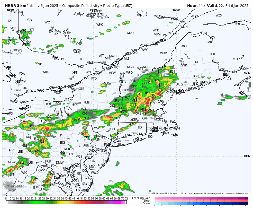
HRRR Future Radar 6PM
Looking ahead, the weather pattern remains unsettled. A weak system may bring light rain Sunday night into Monday, though confidence in this scenario is still low. Rain chances increase again Tuesday afternoon into Wednesday as another frontal system moves through, followed by drier and more stable air midweek.
Residents are encouraged to stay weather-aware today, especially during the afternoon and evening hours, and to monitor local forecasts for updates.