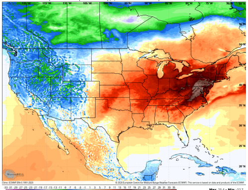
It is yet another hot start out there! A Heat Advisory remains in effect for Hartford, Tolland, and Windham counties through this evening. While the heat will be the main story early in the day, attention will quickly turn to the potential for thunderstorms later this afternoon and evening.
Thunderstorm Risk Highest Across Southern Connecticut
A cold front approaching from the west will interact with the hot and humid air mass in place, leading to the development of isolated to scattered thunderstorms during the afternoon and evening hours. Not everyone will see a storm, but any storm that does develop could become locally intense in a short period of time.
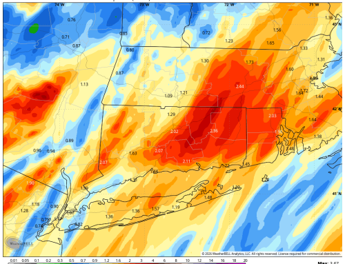
The greatest concern will be across Southern Connecticut, where atmospheric conditions appear more favorable for stronger storm development. One of the key indicators forecasters use to evaluate thunderstorm potential is the K Index, and values are forecast to be notably higher across southern portions of the state today.
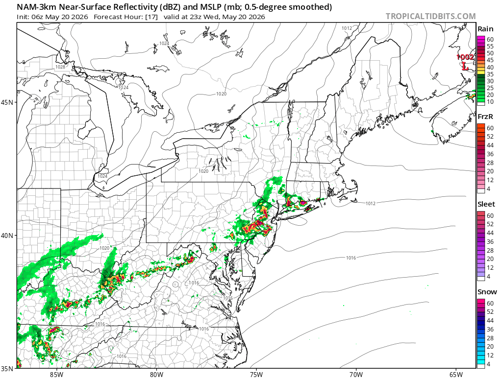
Future Radar (7PM) – Nam Model
What is the K Index?
The K Index is a meteorological tool used to estimate the potential for thunderstorm development. It measures a combination of atmospheric moisture, instability, and temperature differences at various levels of the atmosphere. In general:
- Higher K Index values suggest a greater chance for thunderstorms and heavier rainfall
- Lower values indicate a more stable atmosphere with less storm potential
Today, Southern Connecticut is expected to see higher K Index values compared to northern areas, meaning the atmosphere there will contain more moisture and instability available for storm growth. This is one reason why the severe weather threat is focused farther south.
The Storm Prediction Center has placed the southern half of Connecticut in a Level 1 (Marginal) Risk for severe weather today. While widespread severe weather is not expected, a few storms could produce:
- Damaging wind gusts
- Small hail
- Frequent lightning
- Brief torrential downpours
Storms are expected to move quickly, which may limit flooding concerns overall, but localized heavy rainfall is still possible beneath stronger cells.
Showers May Linger Tonight Into Thursday Morning
After the initial round of storms moves through, the cold front may slow down and stall near the region overnight. This could allow scattered showers to persist into Thursday morning before conditions gradually improve later in the day.
Major Pattern Change Ahead for the Holiday Weekend
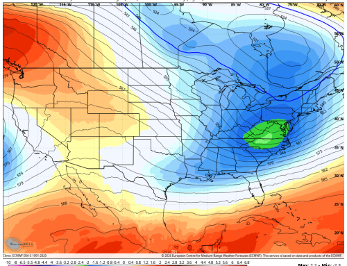
Behind the front, a dramatic change in the overall weather pattern is expected heading into late week and the holiday weekend.
Temperatures will drop sharply compared to the early-week heat:
- Highs Thursday will only reach the upper 60s to lower 70s
- Friday may stay stuck in the 60s for many areas
- By Saturday, some locations could struggle to get out of the 50s and lower 60s
That represents a temperature drop of roughly 15 to 20 degrees compared to the heat experienced earlier this week.
In addition to the cooler temperatures, rain chances will increase heading into the weekend as an unsettled pattern develops across the Northeast. Confidence remains lower regarding exact timing and rainfall amounts, especially for Sunday and Memorial Day, so the forecast remains subject to change over the coming days.