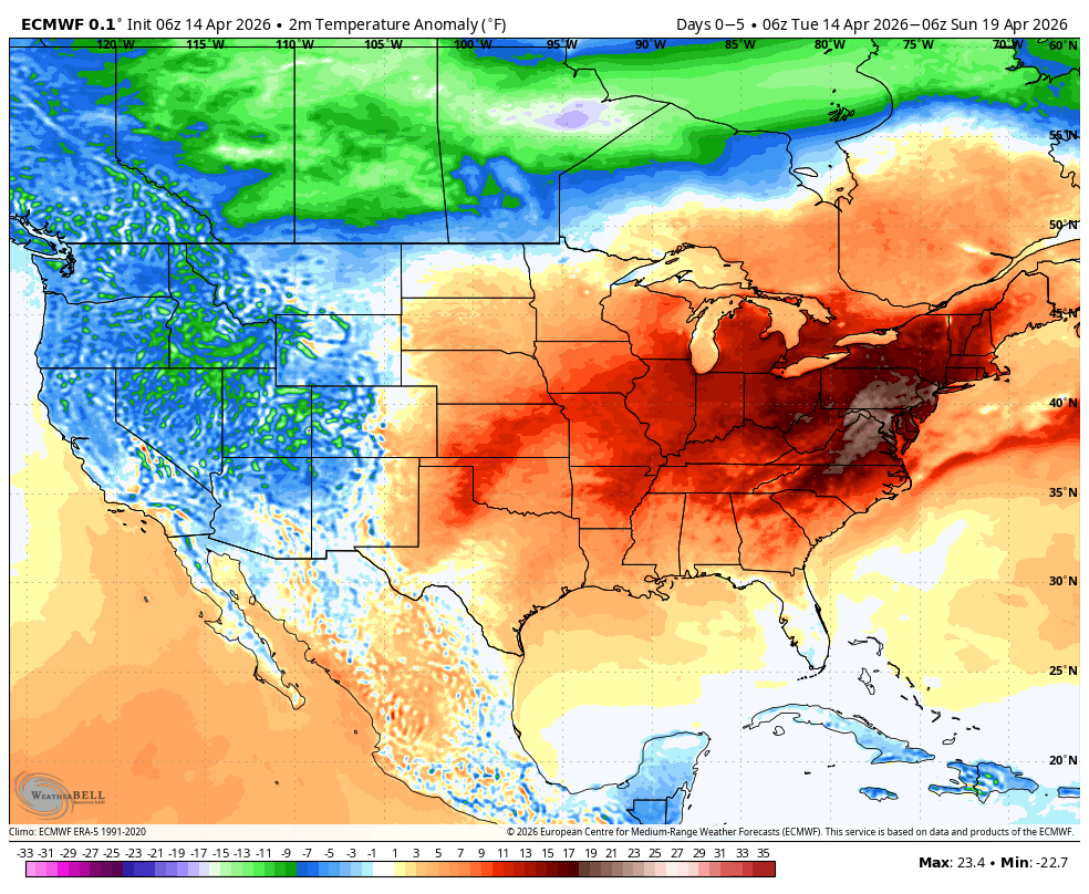
After a warm front moved through mostly dry yesterday, very warm temperatures are in store today across much of Connecticut. Highs will climb into the 80s for most of the state, even down to areas close to the immediate shoreline. The one exception will be far southeastern Connecticut, from New London County toward Rhode Island, where temperatures may stay a bit cooler, generally topping out closer to the 70s due to onshore influences.
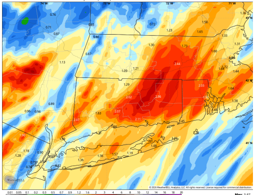
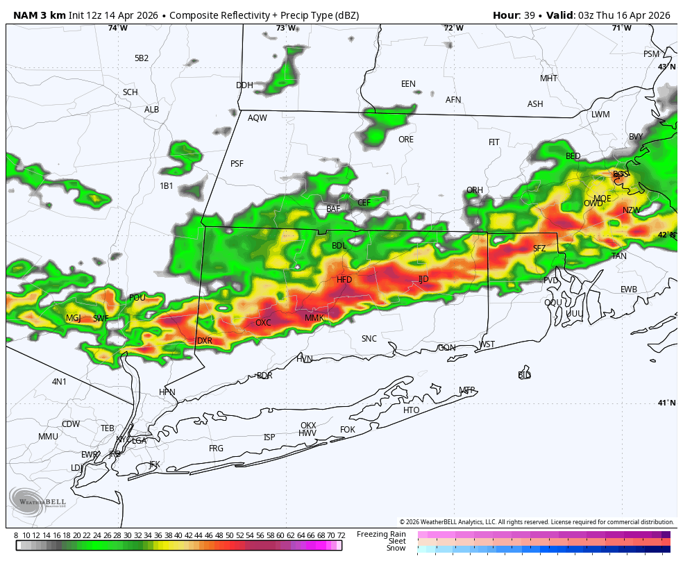
As we head into this evening, forecast models show a line of showers and thunderstorms approaching the region. However, with the loss of daytime heating and limited atmospheric forcing, any activity that does develop should remain brief and on the weaker side. The better chance for stronger storms currently looks to remain north of Connecticut, mainly across parts of Massachusetts. That said, an isolated shower or thunderstorm cannot be completely ruled out later today or this evening, and we’ll continue to monitor trends closely.
The warm pattern continues through midweek, with temperatures peaking Wednesday into Thursday. West to southwest winds will help temperatures rise quickly each day, keeping many locations solidly in the 80s. While each day carries the potential for an isolated shower or storm, coverage is expected to be limited and most areas will remain dry. I actually think the best chance for more scattered activity is Wednesday evening as models show a more enhanced line of storms moving south.
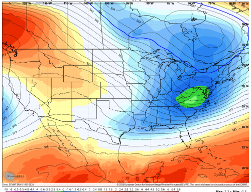
Looking ahead to the extended forecast, above‑normal temperatures continue into next weekend. Highs are expected to remain in the 70s, keeping the overall pattern feeling more like early summer than mid‑spring.
Finally, there is no change to concerns regarding fire danger. Warm temperatures combined with gusty winds will continue to elevate fire risk across the region. Conditions are expected to remain concerning until we see more widespread rainfall and seasonal green‑up.
Stay tuned for updates, and enjoy the warmth—just be mindful of the dry conditions.
P.S If you are not a fan of the heat.. I do think we get a MUCH cooler period for the last week of April.