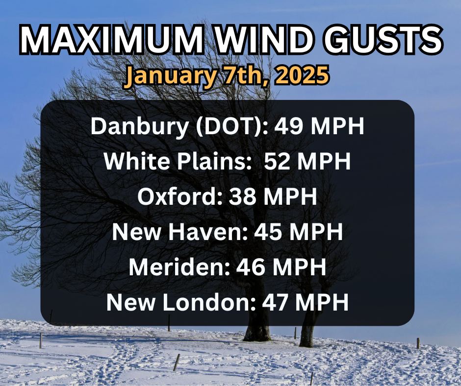
If you stepped outside at all in New England the last couple of days, you probably noticed the cold, and a moment later the wind. Winds gusted 40 to 50 mph over much of Connecticut on Tuesday, resulting in single digit wind chills and even isolated tree and power problems. The maximum wind gusts throughout our area on Tuesday can be seen below:
Similar conditions are expected again Wednesday and Thursday. Per the Facebook comments on our pages, a popular question was, “Why is it so windy?” The answer to that starts with the definition of wind itself. The wind as we know it is the movement of air (which is a fluid) that results from a horizontal difference in air pressure. The wind, in essence, is always trying to go from high pressure to low pressure. On a map, lines of equal pressure are known as isobars. The closer the isobars are together, the stronger the pressure gradient force and the stronger the wind.
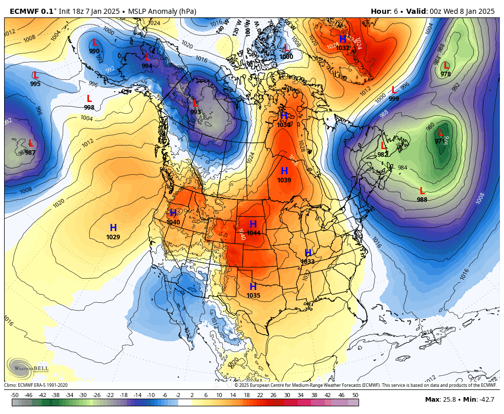
Surface Pressure – European Model
An analogy I always liked was to compare the isobars on a weather map to terrain on a topographic map. The tighter the contours on a topographical map, the steeper the terrain. If a stream was flowing down steep terrain, it would move very quickly and there could be rapids or a waterfall. If the contours were spread apart, the water would flow slowly or calmly. With our current weather map, New England is wedged between deep low pressure in the Canadian Maritimes and strong high pressure over the Great Plains. Where the isobars get tight, we are seeing a strong “waterfall” of NW wind.


