Morning data continues to be more bullish on the storm threat this evening. If you have been outside this morning, you have probably noticed it is warm and it is windy. Temperatures as of 11AM are right around 70 degrees across the state, and more sun this afternoon is expected to help temperatures climb even further into the 80s across the interior.
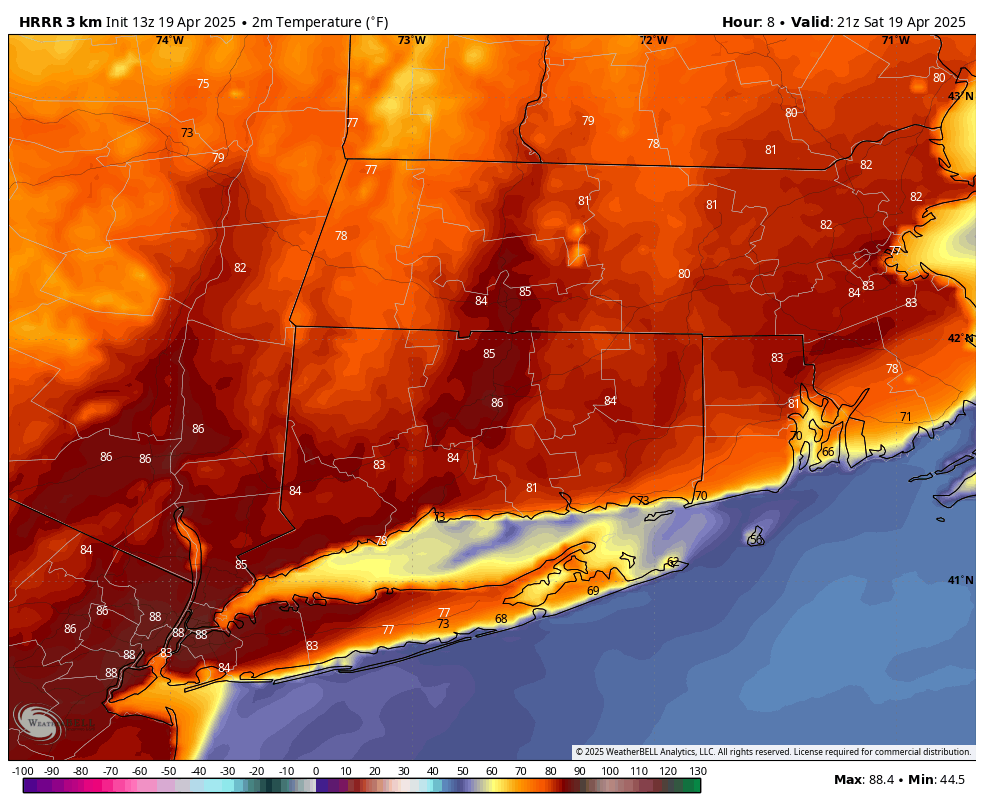
HRRR Temps – 5PM – 80s across much of CT
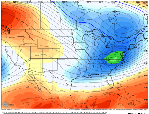
This will set the stage for what is called a conditionally unstable atmosphere – one that storms can develop in if there is a significant enough trigger. A Level 1 (Marginal Risk) has been expanded to much of CT this morning by the Storm Prediction Center.

Storms that do form will be in and out quick, but we will have to monitor as a few storms could be strong with damaging winds the primary hazard mode, although severe hail (quarter size or larger) cannot be ruled out. General timing window remains 6PM to 9PM but keep in mind that the storms likely only last a half hour or so and will be moving around 50+ mph – fast movers can catch you off guard if you are not keeping an eye to the sky.
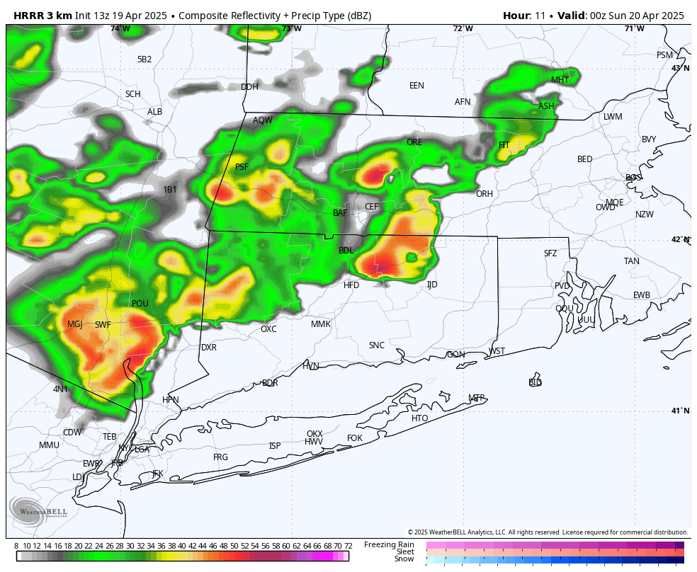
HRRR Future Radar – 8PM