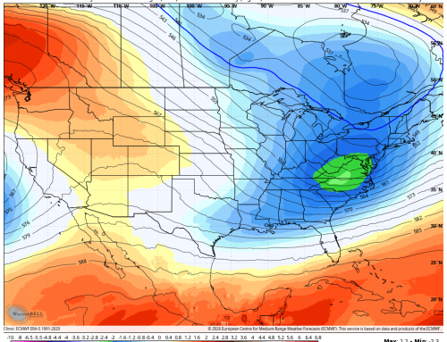
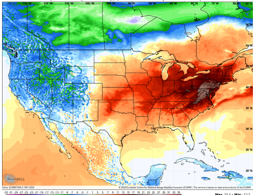
Any clouds that remain in the area this morning will diminish quickly through the day as a low pressure moves away from the region from west to east. By the early afternoon, mostly to completely sunny skies will develop and continue through the rest of the day, though breezy northwest winds will limit how high the temperature will rise today. Temperatures look to be very close to normal in the afternoon, with highs in the middle 60s across the region. A prolonged stretch of dry weather will take place throughout the next 7 days, with minimal rain threats overall. Tonight, expect to see temperatures drop into the lower 40s, and on Tuesday, our numbers will struggle to reach 60 and, in some areas, they will likely fall short of that mark. Gradually warmer conditions can be expected for Wednesday and, by Thursday, we should see our numbers warm to near or even just above 70. A weak disturbance will move through the area on Thursday as well and, while most of the rain currently looks to stay north of the region, a shower or two cannot be ruled out. Temperatures should return to more seasonable levels by next weekend, which looks dry.

Would you like to work with or advertise with CTWeather? Reach us by phone or email. | Phone: (203) 730-2899 | E-Mail:weatherlab@ctweather.com

The Connecticut Weather Center strives to provide accurate weather information to the public and the many institutions. It is of the utmost importance that crisis information be made available to the public in time of need.
The countdown to Winter is on...
WINTER 2026-27 is Coming!
0
0
0
0
Days
0
0
Hrs
0
0
Min
0
0
Sec
Copyright©2026 | CT Weather | All Rights Reserved | A Website Designed by Ridgefield CT Webdesign