We’re enjoying a stretch of quiet weather across the region, with high pressure firmly in control through Wednesday and Thursday. Fresh data this morning suggests a slight chance of a passing shower this afternoon, but overall, expect mostly sunny skies. If a shower does pop up, it’ll be brief and light—nothing to change your plans over.
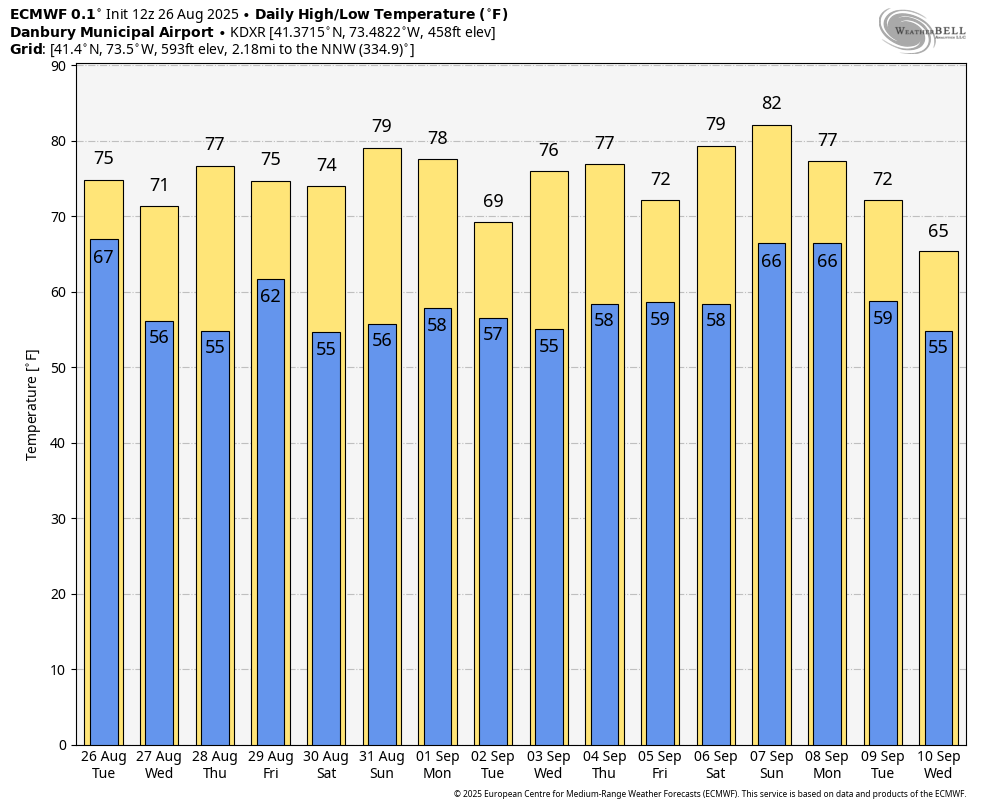
By Thursday night, things begin to shift. A stronger disturbance will approach from the northwest, bringing an increased chance for showers and possibly a few thunderstorms as a slow-moving cold front makes its way through on Friday. There’s still some uncertainty around the exact timing and how much rain we’ll see, but for now, “scattered” showers and storms are in the forecast from late Thursday night through Friday. That said, it won’t be a washout—expect a mix of clouds and sun for much of the day.
Once the front clears out Friday evening, we’re looking at a fantastic weekend ahead. High pressure builds in from the west, bringing cooler and drier air just in time for Labor Day. Temperatures will be near to slightly below average, with highs in the mid to upper 70s and plenty of sunshine—perfect for outdoor plans, whether you’re heading to the beach, firing up the grill, or just enjoying some downtime.
One thing to keep an eye on: some forecast models are hinting at a low-pressure system developing off the Southeast coast early next week. If it tracks toward the Northeast, we could be looking at a period of rainy and windy conditions by midweek. Confidence is low for now, but it’s something worth watching in the coming days.
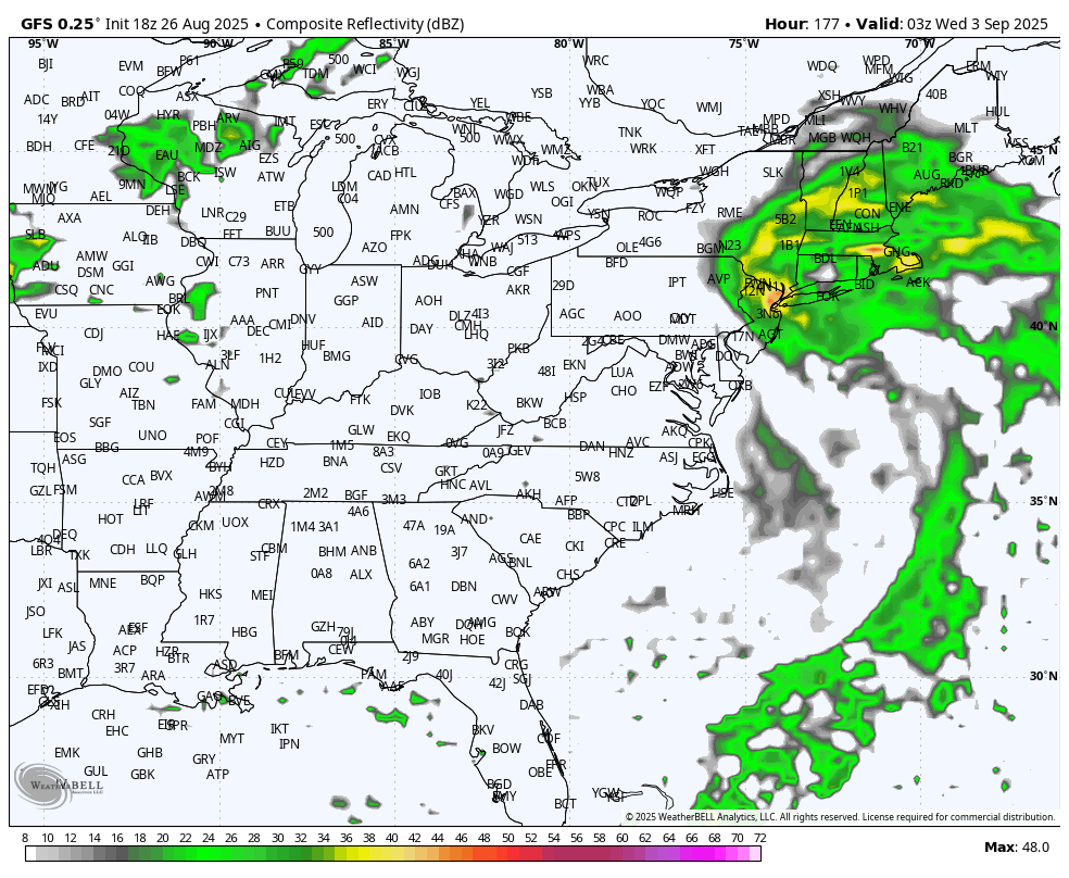
GFS model next Tuesday Night