Hurricane Erin remains a powerful and expansive system over the western Atlantic this morning. Satellite imagery reveals a persistent area of convection near the center, tied to a fragment of an inner eyewall seen in microwave data. Outer convective bands continue to wrap around the storm, supporting a broad wind field that at one point yesterday stretched over 1000 miles! The surf was definitely elevated today – and we received several reports of 6 to 10 foot waves from the RI shoreline.
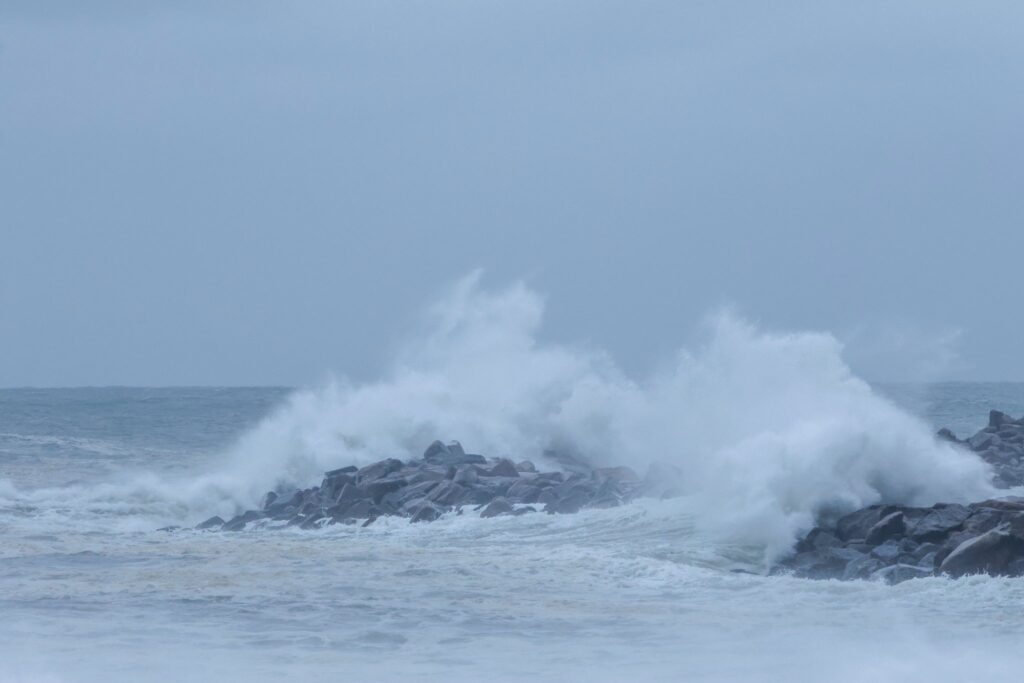
Point Judith Rhode Island “Big Thursday ” 📸 Dan Butler
🧭 Track & Transition
As of this evening, Erin is now accelerating east-northeastward at 19 knots, guided by mid-latitude westerlies. Over the next few days, it will continue this motion out to sea, eventually slowing down by early next week. Forecast models remain tightly clustered, suggesting high confidence in the projected track.

Latest track of Erin
⚠️ Beach Impacts & Coastal Hazards
- Dangerous Surf & Rip Currents Continue
Erin will continue to generate surf and rip currents along the beaches of Northeast, in particular Long Island, Rhode Island and Massachusetts. High Surf Advisories remain in effect for ocean-facing beaches through Saturday, and a Coastal Flood Advisory continues through tonight.

🌤️ Local Forecast: Connecticut Weather
Friday & Saturday:
High pressure builds in, bringing pleasant weather with mostly sunny skies and highs in the 80–85°F range. Winds shift out of the south on Saturday, adding a touch of humidity.
Sunday & Monday:
A frontal system approaches, bringing a chance of isolated showers and storms, especially in the afternoon and evening. Conditions remain unsettled into Monday with scattered showers possible.
Tuesday–Thursday:
High pressure returns, delivering sunny skies and comfortable temperatures in the upper 70s to low 80s. A great stretch of late-summer weather is expected midweek.