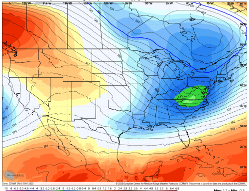
It’s looking increasingly likely that a coastal storm could impact southern New England late this weekend into early next week. While this scenario initially seemed less probable, recent guidance has consistently trended toward a setup where a storm system moving through the Great Lakes interacts with a developing low off the Carolinas. This “tango” between the two systems could pull the coastal storm further north, resulting in a nor’easter-type event for our region.
If this pattern holds, we can expect periods of rain and gusty winds beginning later Sunday and continuing through Monday. Rainfall totals are currently projected to be in the 1 to 2 inch range, which should keep flooding concerns relatively low. However, the wind could be the most impactful feature, with gusts potentially reaching 30 to 45 mph and lasting for 24 to 36 hours. Coastal areas, in particular, should keep an eye on this system, as minor coastal flooding could become a concern depending on the storm’s timing and track.
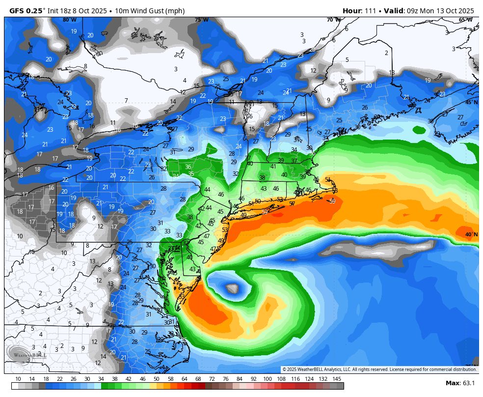
GFS Model wind gusts Sunday evening
It’s important to note that confidence in this forecast remains fairly low. The interaction between the two storm systems—and the possible influence of moisture from Hurricane Jerry—adds a layer of complexity that makes precise predictions difficult at this stage. With 4 to 5 days still to go, there’s plenty of time to monitor developments and adjust expectations as new data comes in.
For now, it’s a good idea to stay informed, especially if you live along the shoreline or have outdoor plans for late Sunday or Monday. We’ll continue tracking this evolving setup and provide updates as the picture becomes clearer.