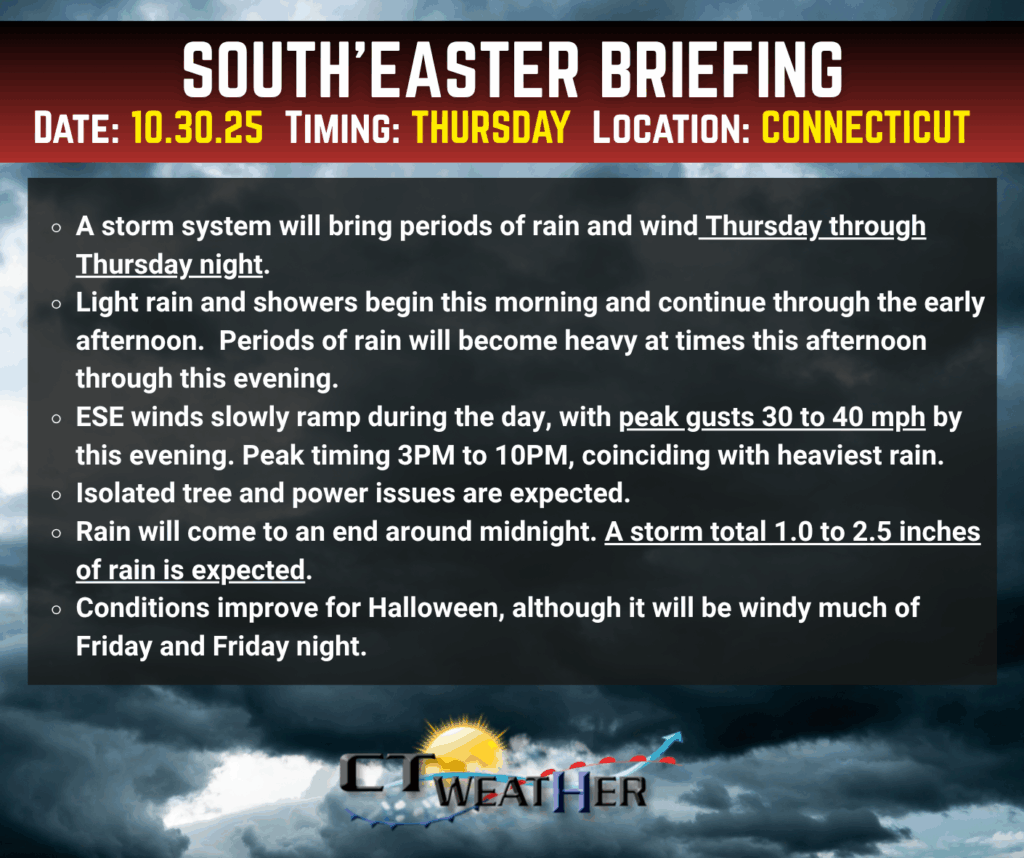
Light showers and drizzle are making their way through the region this morning, accompanied by an increasing easterly breeze. Expect this light rain to continue intermittently through midday.
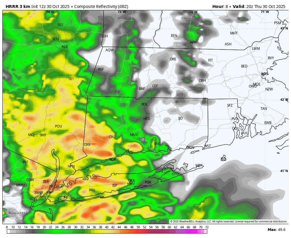
Heavy rainfall into Western and Central CT by 4PM – HRRR future radar
By afternoon, conditions will intensify as a storm system moves west to east across the area. The heaviest rain is expected between 3 PM and 11 PM, with Eastern zones seeing a slight delay. Winds will also pick up during this time, with gusts reaching 30–40 mph, and possibly up to 45 mph along the shoreline.
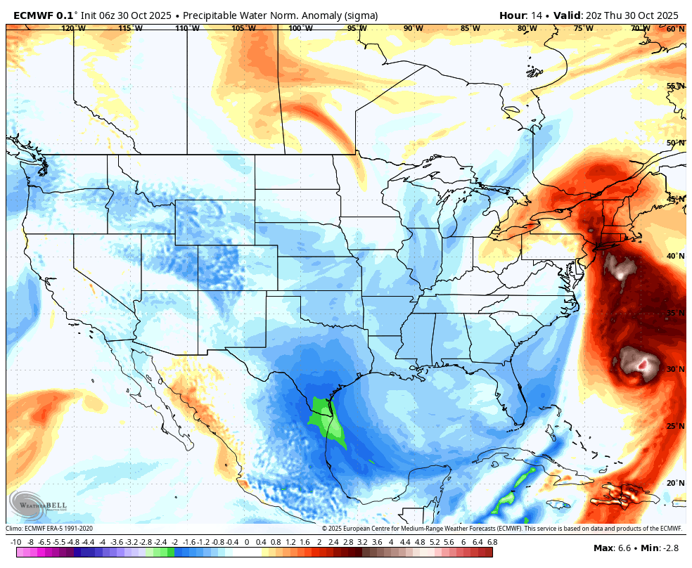
Note the moisture connection between Hurricane Melissa offshore and todays system. Melissa is giving us some extra juice.
Although Hurricane Melissa will remain offshore, it’s adding extra moisture to the system, prompting an increase in expected rainfall totals to 1.0 to 2.5 inches. The evening commute could be challenging, especially on leaf-covered back roads. Isolated power outages are possible, but widespread disruptions are not anticipated.

Latest European model rainfall totals support the idea for a widespread 1.0 to 2.5 inches of rain through CT
The storm will clear out by Friday morning, bringing partly sunny skies and a brisk westerly breeze—great news for Halloween plans! Just be sure to bundle up Friday evening, as it will be cool and blustery with gusts up to 35 mph.
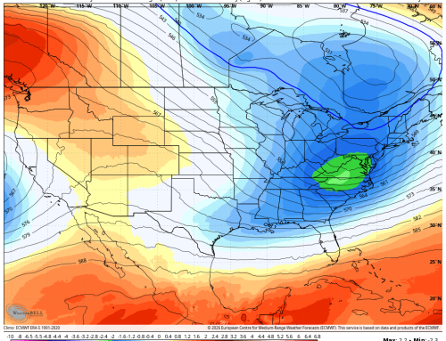
Looking ahead to the weekend and early next week, expect mostly sunny skies and seasonable temperatures, perfect for enjoying the fall weather.