Satellite imagery this morning reveals a crystal-clear sky across the region, setting the tone for a beautiful stretch of weather ahead. High pressure will be the dominant force from today through the weekend and into early next week, delivering dry and pleasant conditions that many will welcome.
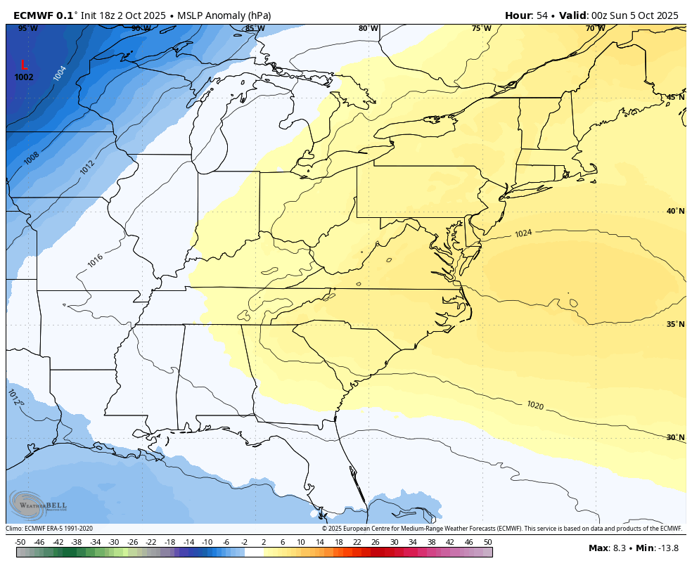
High pressure to our south this weekend will bring in warmer air via SW flow.
Warming Trend Ahead
Temperatures will gradually climb over the next few days:
- Friday: Highs in the low 70s
- Saturday: Middle to upper 70s
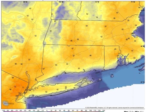
- Sunday & Monday: Low 80s possible — about 7 to 12 degrees above seasonal norms
Nights will remain cool but comfortable, with lows mostly in the 50s. It’s a great setup for outdoor activities, leaf peeping, or just enjoying the early October calm. I am already seeing a lot of color this year – it looks like the foliage is early!
Midweek Shift: Cold Front Incoming
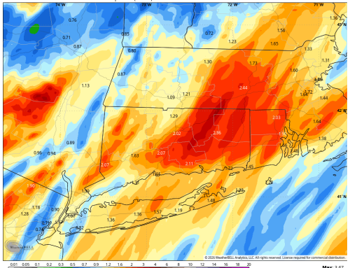
A cold front is expected to approach late Tuesday into Wednesday. While timing remains uncertain, models are beginning to converge on a narrow window for rainfall. The European model currently suggests showers between 2AM and 8AM Wednesday, with clearing likely by midday from west to east.
For now, the extended forecast calls for:
- Wednesday: Mostly cloudy with scattered showers, especially early
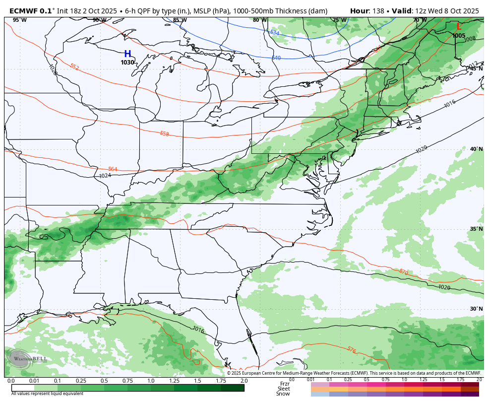
European model signaling classic cold front with rainfall possible Wednesday morning
As we get closer to the event, expect forecast refinements. These types of frontal passages often see their timing adjusted as models hone in on the details.
Post-Front Cooldown & Frost Watch
Behind the front, temperatures will drop back into the 60s for highs, bringing a more autumnal feel. Some models are even hinting at the first widespread frost later next week — something to watch closely, especially for gardeners and growers.