It will be an interesting stretch of weather Friday and Saturday as another dynamic storm system approaches the area. Ahead of the system, a piece of energy will stretch over CT during the day on Friday. This will likely be enough to kick off some scattered shower activity Friday afternoon, but not enough to make the day a washout.
HRRR future radar calls out these scattered showers below. I would favor the interior for these, especially across Central CT. 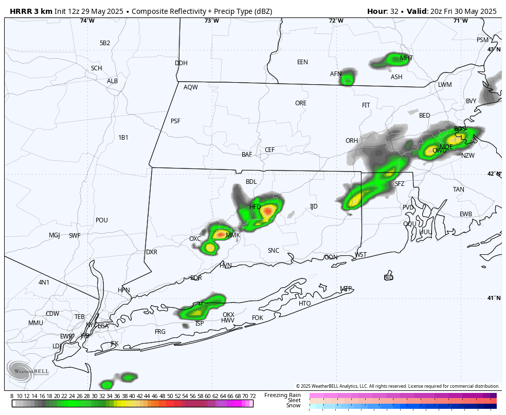
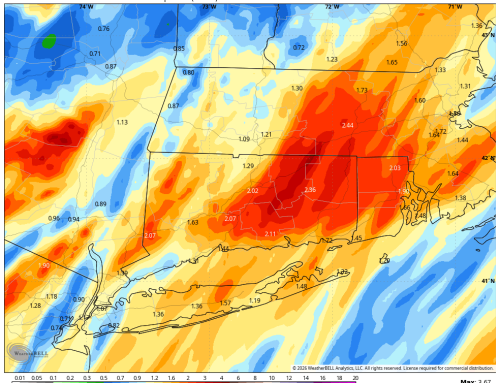
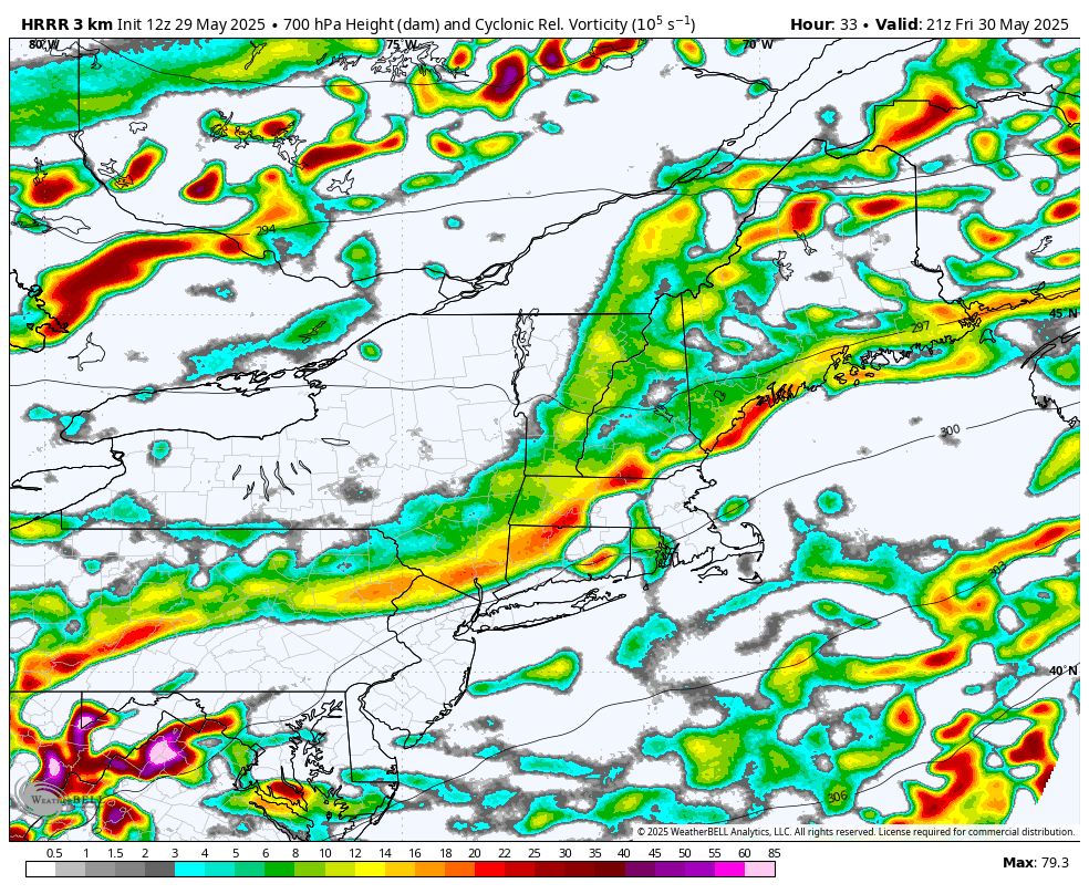
The storm will move closer to the area Friday night. Depending on the exact track of the low, a period of heavy rainfall is possible Friday night into Saturday morning. It may be breezy with this activity as well. Winds could gust 25 to 35 mph as heavier bands of convection work through. 1 to 2 inches of rainfall is possible with this.
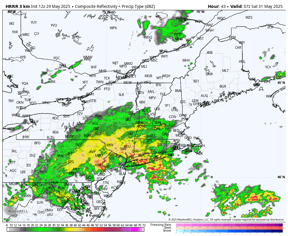
The heavy rain should subside by mid Saturday morning, but the backside of the storm will likely bring additional showers and storms Saturday afternoon. This is definitely a day to be keeping a close eye on the radar. The good news is that the sun returns Sunday, and we get a pleasant stretch of milder temperatures into next week.