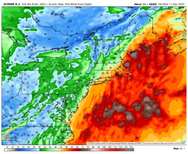
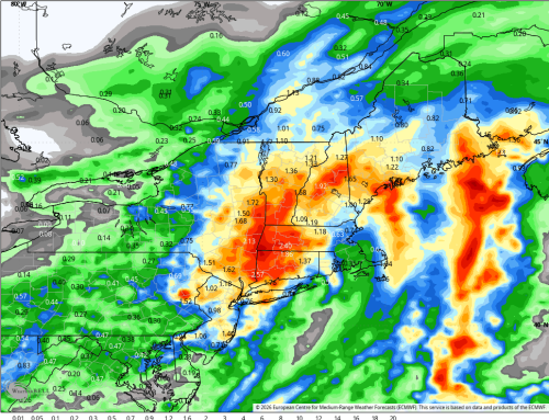
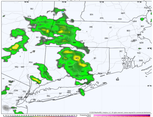
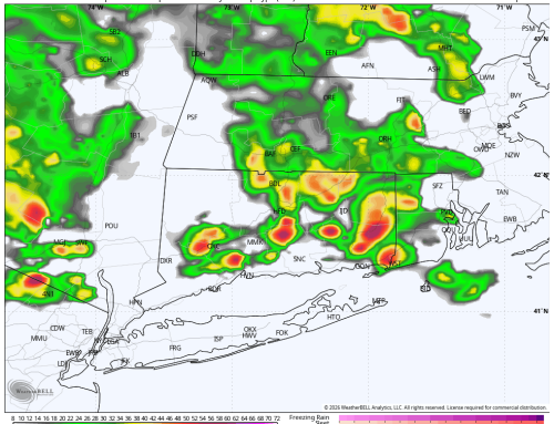
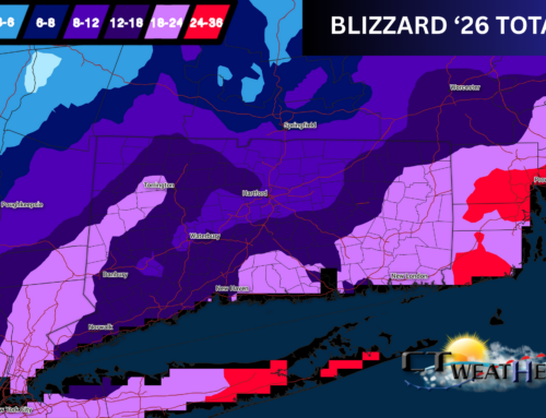
All attention in the Weather Center has turned to a robust and potent storm system that will be moving through Sunday afternoon to Monday. The likelihood of rain increases as the afternoon goes on Sunday, with rain and wind strongest for about a 12-hour period 7PM Sunday evening through 7AM Monday morning. Models are in good agreement with heavy rainfall during this period, and the trend the last 24 hours has been for a stronger system with more precipitation. Winds will be strongest under a screaming low level jet that looks to set of over Eastern parts of the forecast region. Given the robust nature of this event, please see detailed impact summary below. Rainfall: Increased forecast to widespread 2.0 to 3.0 inches of rain, with locally higher amounts up to 3.5 inches possible, especially in the Hudson Valley and Western Connecticut. Wind: Based on current forecast, peak wind gusts 40 mph to 50 mph in the Hudson Valley and Western CT; 45 mph to 55 mph in Central and Eastern CT, and 50 mph to 65 mph in coastal New London County and Rhode Island. Power Outages: Isolated to scattered power outages are possible in the Hudson Valley and Western Connecticut, with scattered to numerous outages in Central and Eastern Connecticut. Numerous to even widespread power outages are possible further East in Rhode Island and Eastern Mass. Marine: For Long Island Sound, coastal flooding is possible up to a level of 1.0 to 2.0 feet, particularly in vulnerable areas. A Gale Warning will likely be needed due to the magnitude of wind and surf.
