- Reach us by phone, fax or email.
- Phone: (203) 730-2899
- Fax: (203) 730--2839
- weatherlab@ctweather.com
Forecast Blog
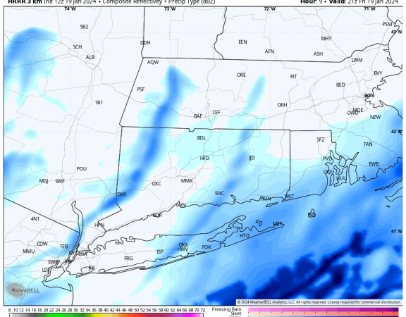
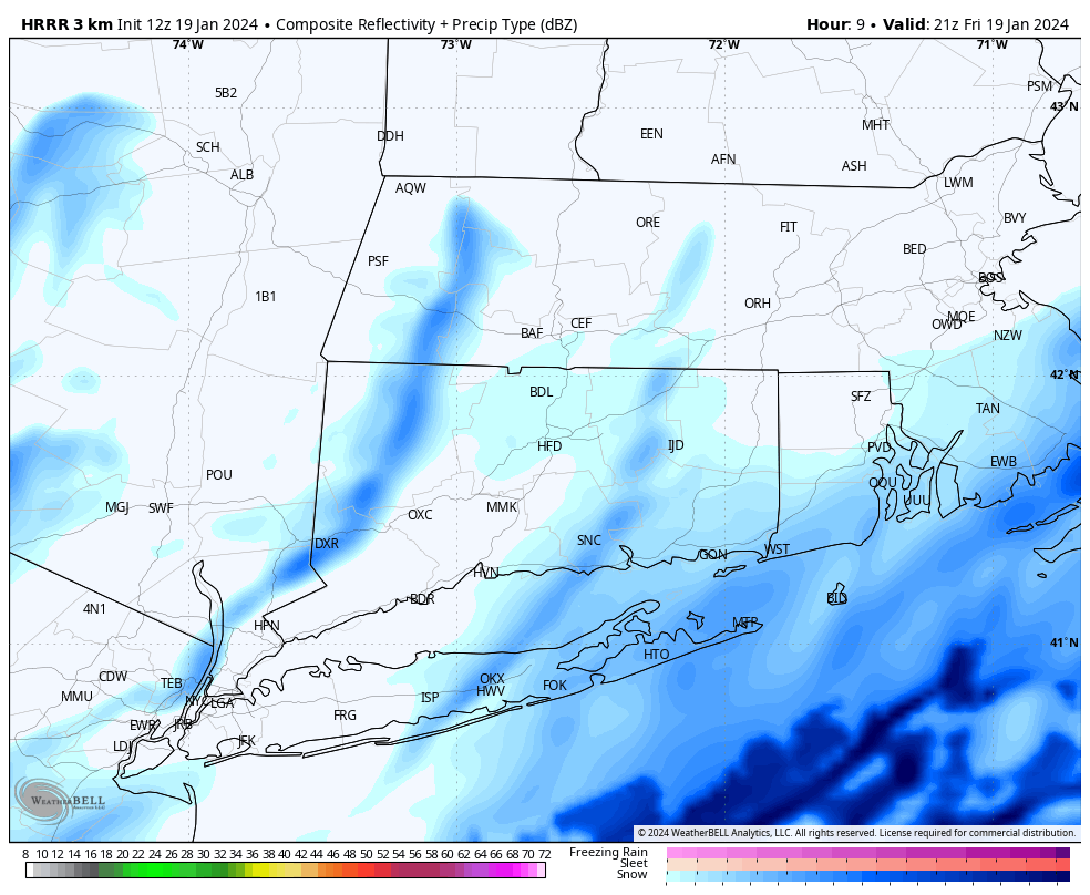
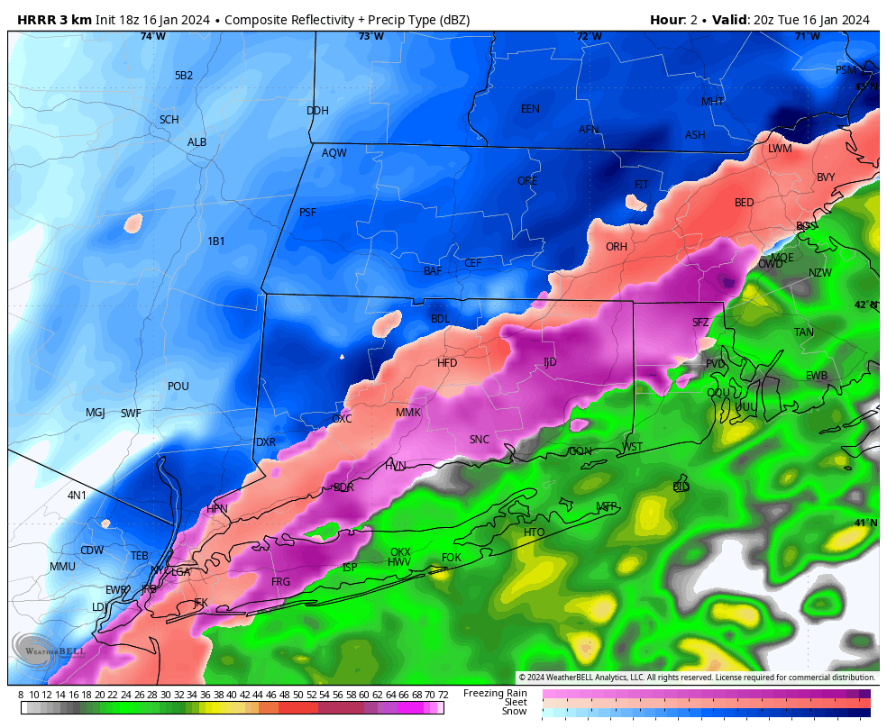
Good morning! Forecast is generally on track for Friday, with light snow falling through much of the day. Expect the steadiest snow to fall late this morning through 3PM or 4PM, although light snow showers may linger through the evening. The only feature I am watching with interest is a band of more moderate snow that may setup in Western CT in response to somewhat favorable dynamics aloft. This “noodle” could allow parts of Putnam, Northern Fairfield, Northern New Haven, and Litchfield Counties reach closer to 2.0 inches. Probably splitting hairs as this is overall a light event, but we always feel inclined to share all the details.
The remained of the area looks to be inhibited by more dry air, leading to underwhelming C-1 accumulation in much of Central and Eastern CT, as well as much of Rhode Island.

