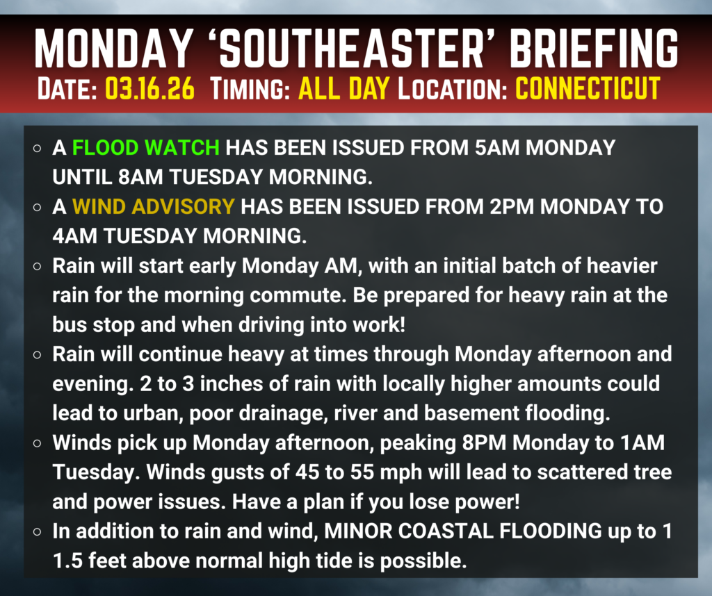
A Wind Advisory and a Flood Watch have both been issued for our entire region as a potent storm system moves in Monday into Monday night. This has all the ingredients of a classic New England March storm—strong winds, heavy rain, and lingering impacts even after the rain ends.
Winds: Strongest Monday Evening into Overnight
The latest data suggests winds will steadily ramp up throughout the day Monday. While breezy conditions will be noticeable earlier, the most impactful winds are expected to hold off until Monday evening, with peak gusts occurring between roughly 8 PM and 1 AM.
During this time, wind gusts could reach 45 to 55 mph, strong enough to produce scattered power outages, especially where trees are already loosened by wet soils.
Heavy Rain and Flooding Concerns
Rainfall totals of 1.5 to 3.0+ inches remain likely across the region. With such widespread and steady rain, the Flood Watch is well warranted. Expect poor drainage flooding, swollen streams and rivers, and areas of standing water, particularly Monday afternoon and night.

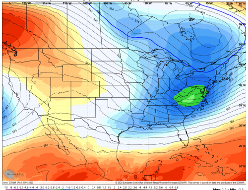
HRRR Model Total Rainfall
Temperature Drop and Refreeze Potential Late Monday Night
One additional concern comes after the rain ends. Temperatures are expected to drop Monday night, especially across the interior of Connecticut. While widespread icing is not anticipated, there is slight potential for refreezing in locations where significant runoff occurs—such as low spots, back roads, and areas with lingering standing water.
This could lead to localized slick spots late at night and early Tuesday morning, mainly north and west of the I‑95 corridor.
Bottom Line
This storm may not break records, but it will pack a punch. The combination of strong winds, heavy rain, minor flooding concerns, possible power outages, and a late temperature drop makes this a storm worth taking seriously.
Secure loose outdoor items, avoid driving through flooded roads, and use extra caution late Monday night—especially in interior locations.