As rain showers taper off Monday evening, a sharp cold front will usher in much colder air across Connecticut. Temperatures will fall quickly from west to east, with overnight lows plunging into the mid to upper 20s—even along the shoreline. A Freeze Warning is in effect for coastal areas, where a deep freeze is expected. The NWS is no longer issuing freeze warnings across the interior, but it will be cold there as well.

Temperatures will be 20-25 degrees colder on Tuesday morning than they were Monday at the same time – European Model
Tuesday will feel more like mid-winter than mid-November: expect blustery northwest winds, highs struggling to reach the upper 30s, and wind chills in the 20s for much of the day. Wind will likely gust 30 to 35 mph. Scattered snow showers are also possible, especially in northern and higher elevation areas. While this cold snap will be short-lived and temperatures moderate closer to normal by mid-to-late week, it is a reminder that “true” winter is not too far away.
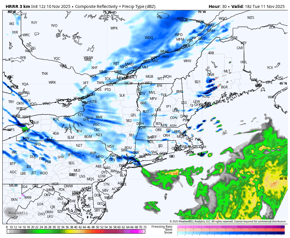
HRRR Future Radar – Snow Showers 1PM Tuesday
Thank you Veterans for your service! Enjoy the week!


