There remain 2 periods of winter weather to focus on in the 5-Day Forecast. Both of these could potential give us accumulating snow.
The first is Saturday morning through midday when snow showers work in. Watching for a burst of potentially moderate snow before sunrise Saturday that would coat things up before more snow shower activity comes in late morning through early afternoon. Overall, a Coating to 2 inches of snow through much the area – with highest totals more likely in the hills. Temperatures will be marginal during the day on Saturday, so lighter snow shower may not stick efficiently.
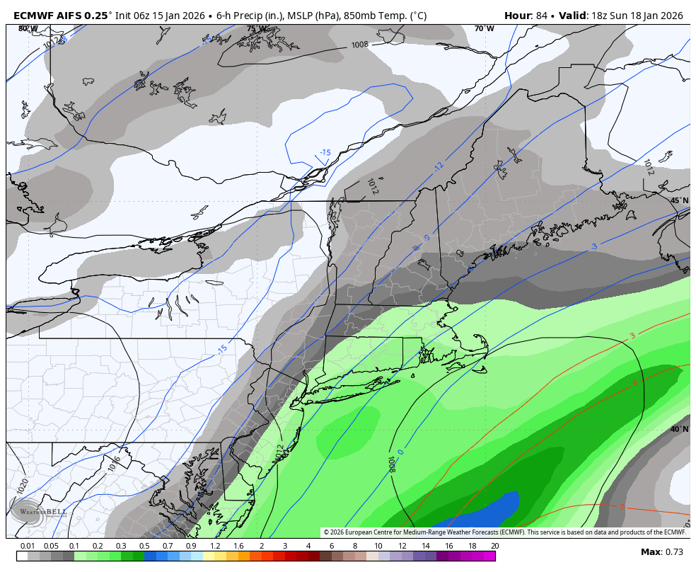
After Saturday, all eyes turn to Sunday. The Sunday to Monday event continues to be more uncertain as a coastal storm moves offshore. Right now, favoring a light snow event Sunday afternoon through Sunday night, though confidence remains low based on model spread. There is still a chance this storm misses completely, and also some chance it turns more into a moderate (3-6 Inch) event, especially in Eastern CT and Rhode Island.