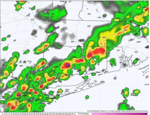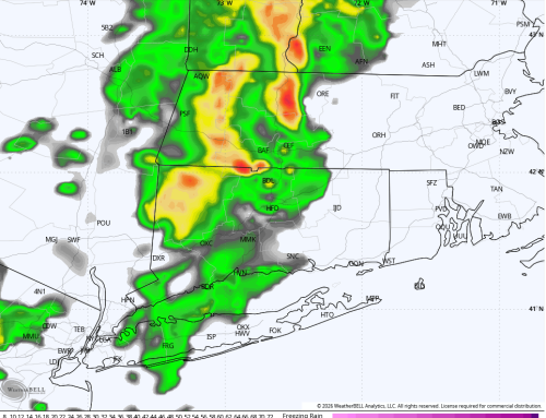
Models have trended colder and snowier for the late weekend forecast, with the Euro ensembles beginning to indicate a stronger signal for plowable snow across the region. With a slower track, more cold air is able to work into the storm, creating a recipe for snow across Southern New England. As with any nor’easter, the amount of snow will be very sensitive to minor changes in timing and track, but what once looked like a mainly rain event has quickly evolved into a snowier end of the weekend.
Pay close attention to this forecast as we head through the end of the week. Many of the details should become clearer by Friday afternoon.