Its been a cold stretch… but so far a dry stretch. After several “dusting” type storms, it looks like we may finally see a more significant snow event in Southern New England Sunday evening into Monday.
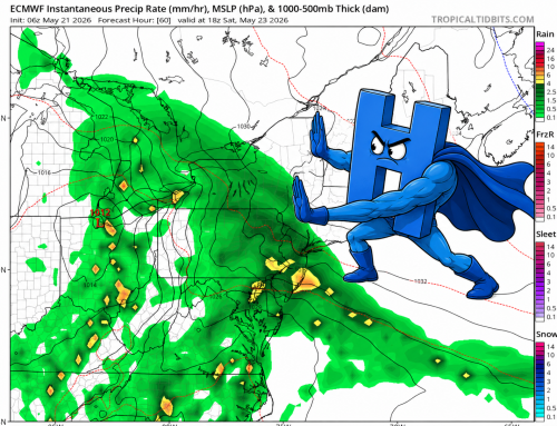
Models have trended more bullish with a system to impact the area Sunday evening through Monday morning. Low pressure will form near the Carolinas and track NE to a position SE of the 40/70 benchmark by Sunday night. A swath of snow will stretch from the Mid Atlantic to New England with moderate snow accumulations most likely outcome at this juncture. Given we are 72 hours from the event, further adjustments will likely be needed tomorrow and Saturday. European model below shown as approximate display of forecast thinking.
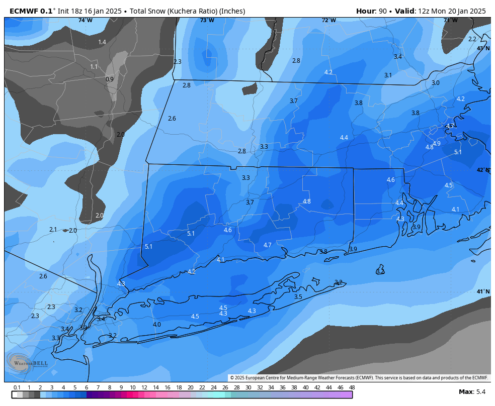
European Model Snow Valid Monday Morning