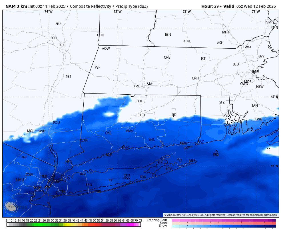
Tuesday Night: Coastal areas have the best chance of seeing a light accumulation of snow as a system slides to our South. Not expecting this to be a big deal at the moment, but can’t rule out an inch or two in coastal CT. The latest NAM model bumped things up a bit, so should there be any northern trend in the system overnight, updates will be provided. Expected timing for snowfall is approximately 12 AM to 4 AM on Wednesday.
-
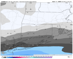
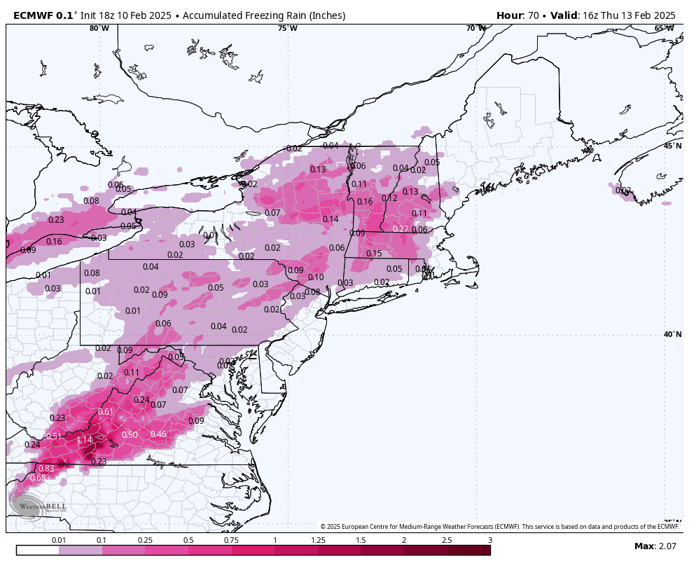
- Snow Totals – European Model

-
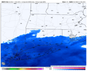
- Future Radar – Nam Model
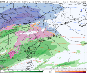
Wednesday Night into Thursday: The anticipated system remains on track, bringing a progression from snow to ice and then to rain. Recent model guidance suggests a slightly faster timeline and more in the way of plain rain during the day on Thursday. This will likely come down to how strong the “CAD” (or Cold Air Damming) is within the system. This can be tricky for models, and often allows the cold air to hang on longer than modeled. There is a CAD signature noted on the right hand image where you can see curvature in the isobars. In general, expect wintry precipitation beginning around 10 PM on Wednesday and continuing until about 7 AM on Thursday. At this point school delays seem quite possible, but will continue to monitor as we get closer.
-

- European – Total Ice
-
- Surface Map – 7AM Thursday