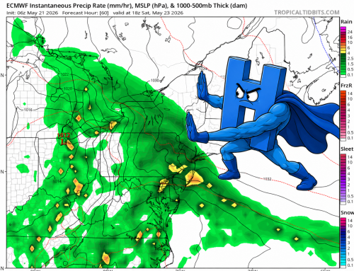
A warm front will approach the area Friday night with light freezing rain or freezing drizzle possible after midnight into the Saturday morning commute. The timing of most concern is approximately 1AM to 7AM across the region. While warm air will attempt to move in during this period, it may be slow to exit valley locations, especially around the Central CT River Valleys.
This process, known as Cold Air Damming (CAD), is notoriously under-modeled, which is likely why the NWS forecast is more bullish on freezing rain than most modeling. In this specific situation, however, the high-pressure system will be migrating to our SE during the event and lack of a true “cold drain” via NE wind would have me lean towards lower impacts outside of the aforementioned valleys, especially after 7AM tomorrow morning. A light glaze of ice is possible in shoreline locations with a few hundredths of an inch of ice across the interior.