
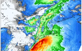
Heavy Weather On The Way Tuesday Night Into Wednesday:
Current radar trends indicate light rain and mixed precipitation moving into the area over the next few hours, with steadier precipitation working in after 5PM. Any mix should quickly turn to rain along the I84 corridor, with winter precipitation hanging on longer in the highest elevations of Litchfield [...]
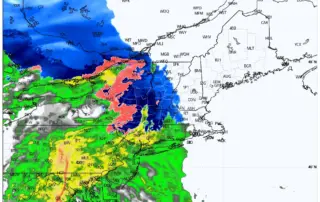
Latest on the Storm System Coming in Tuesday Evening Through Wednesday Morning
Our storm system is on track for Tuesday evening. Rain should begin between 4PM and 6PM in the Hudson Valley and Western CT, and 6PM to 8PM in Central CT and Eastern CT/RI. Still expecting a mostly rain event for the forecast area, with some mixing at the [...]
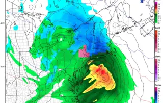
Storm Update: What’s Coming The Wednesday Before Thanksgiving?
Timing details are coming into better focus for our Tuesday evening thru Wednesday midday storm. Thinking rain/wind is primary threat in CT. Watching the colder GFS solution (see photo), but feel rapid dig of Northern vort is a bit exaggerated. This aggressive vort dig is crucial in helping [...]