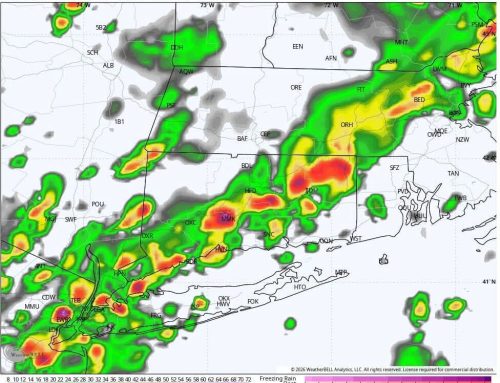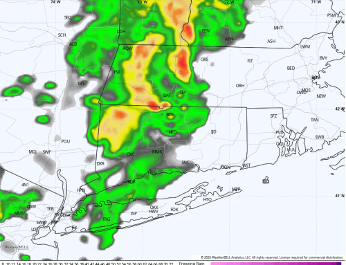
Today will feature a noticeable drop in humidity behind last night’s cold front. Sunshine will take over with highs generally reaching the mid to upper 70s across Connecticut. Dew points will continue falling through the day, eventually dropping into the 50s, making it feel much more comfortable by this afternoon and evening.
Saturday will be noticeably cooler, but still a very pleasant early fall day. Most of Connecticut should see partly to mostly sunny skies with highs generally in the upper 60s to around 70 degrees. Most importantly, the daytime hours Saturday should remain completely dry, so outdoor plans look good with no significant weather issues expected.
Changes begin Saturday night as winds turn more easterly and moisture starts increasing ahead of an approaching warm front. Clouds will thicken, and some drizzle or light showers could begin developing overnight. The more significant rain should hold off until Sunday.
Sunday is increasingly looking like a washout across much of Connecticut. Light rain may begin developing during the late morning, with showers becoming increasingly widespread and steady through the afternoon. For planning purposes, I am currently targeting roughly 10 AM to 10 PM Sunday as the primary window for rainfall, although some showers could begin a little earlier or continue beyond that window.
The newest National Weather Service discussion from OKX indicates that atmospheric moisture will increase substantially Sunday, with precipitable water values approaching 2 inches. That should allow rainfall to become steadier and heavier as the day progresses, particularly during the late afternoon and evening.
Rainfall totals of 1 to 2 inches appear possible in parts of Connecticut, with locally higher amounts possible depending on exactly where the heaviest bands develop. The Weather Prediction Center has also highlighted much of the OKX forecast area for a Slight Risk of excessive rainfall, and the National Weather Service notes that the setup could support isolated instances of flash flooding. Exactly where the heaviest rain falls remains uncertain and will become clearer as we get closer to Sunday. Urban and poor drainage flooding will be more likely than any high end impacts like we saw last weekend in Southern CT.
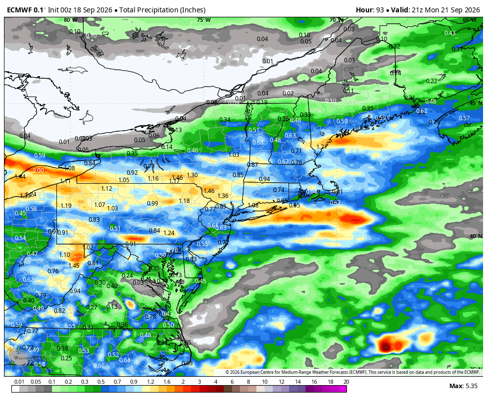
In addition to the rain, Sunday will simply be a raw and unpleasant day. Clouds, rain and an easterly wind will keep temperatures suppressed, with many locations struggling through the 60s.
Showers should gradually taper Sunday night into Monday, but confidence decreases considerably after that. There is some indication that the front will settle south of Connecticut Monday, which could allow much of the state to temporarily dry out. However, if the boundary remains close enough, some showers could linger or redevelop.
The larger pattern remains unsettled into Tuesday and potentially beyond. Additional opportunities for showers are possible Monday night and Tuesday, while a cool east to northeast flow and considerable cloud cover should keep temperatures below normal. Expect plenty of 60s in the extended forecast, with lower-than-normal confidence regarding exactly when periods of rain will occur next week.