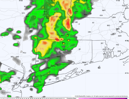
I sound like a broken record record, but we have more heavy rain and flood concerns to discuss. After a pleasant weekend across Connecticut, an unsettled and active weather pattern is returning to start the new week. Morning satellite and radar imagery already show widespread showers and thunderstorms developing across the region, setting the stage for another day of heavy rainfall and localized flooding.
Monday: Heavy Rain and Flooding Concerns
Periods of heavy rain and embedded thunderstorms are expected throughout Monday, with the greatest concern for flooding from approximately 6 AM through 2 PM. During this time, numerous downpours may produce urban flooding, poor drainage flooding, rapidly rising small streams, and isolated flash flooding.
Although there may be a few breaks in the rain during the afternoon, additional showers and thunderstorms are expected to redevelop through the evening. Some storms will once again be capable of producing torrential rainfall, especially where multiple rounds move over the same locations.
Rainfall totals of 1 to 3 inches are likely across much of Connecticut, with isolated higher amounts possible where thunderstorms repeatedly track over the same area. Residents should closely monitor the forecast and be prepared for rapidly changing travel conditions. Remember: never drive through flooded roadways.
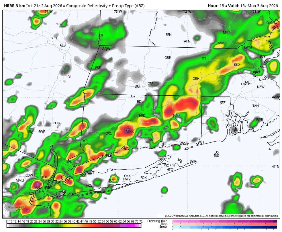
HRRR Future Radar: Heavy rain Monday morning – 11AM shown
Tuesday and Wednesday: A Welcome Break
The good news is that conditions improve Monday night as a cold front pushes offshore, allowing much drier air to move into the region.
Tuesday is expected to be the nicest day of the week, featuring abundant sunshine, lower humidity, and comfortable afternoon highs in the lower 80s. Wednesday also looks pleasant, with a mix of sun and clouds and seasonable temperatures. While a brief afternoon shower cannot be completely ruled out, most communities should remain dry.
More Unsettled Weather Late Week
The break will be short-lived. During the second half of the week, heat and humidity gradually increase as the same stalled frontal boundary lifts back toward southern New England.
This setup will bring renewed chances for scattered afternoon and evening showers and thunderstorms from Thursday through Saturday. While there will be periods of dry weather, any storms that develop will once again have the potential to produce locally heavy rainfall. Afternoon temperatures will generally remain in the lower to middle 80s.
With already saturated ground in many locations, it won’t take much additional rain to create localized flooding issues later this week. We’ll continue to monitor the evolution of this active weather pattern and provide updates as new data become available.