A period of rain and gusty winds will move through early tomorrow morning as a cold front comes into the area. Briefly heavy rainfall and wind gusts 30 to 40 mph are the hazards. Parts of our area have also been highlighted in a 2% to 4% Tornado Risk per the SPC and Nadocast. Please keep in mind though, there is minimal instability to work with, and any “tornado” would more than likely be a very brief spin-up. Please do not be overly alarmed.
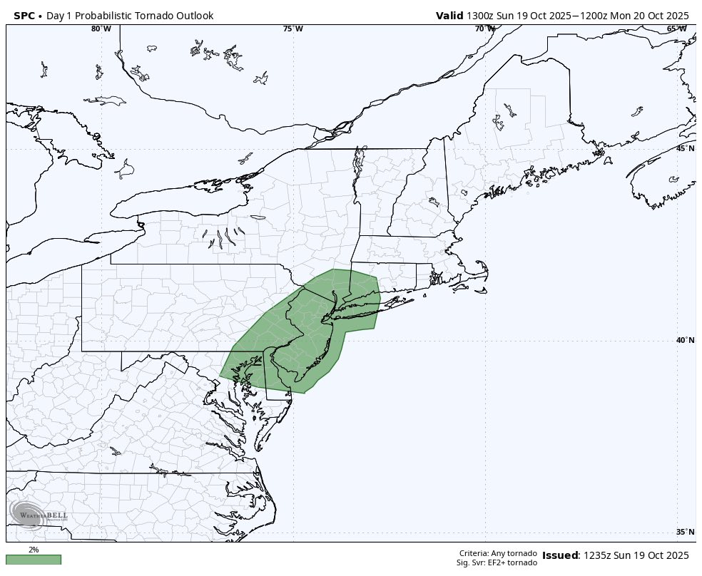
SPC 2% Tornado Risk
Some other trends are for a bit less rainfall and an earlier timing of the front, so I decided to bump the period of worst conditions up to 2AM to 8AM from west to east.
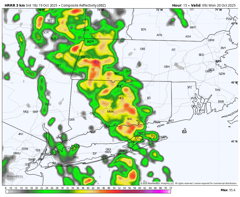
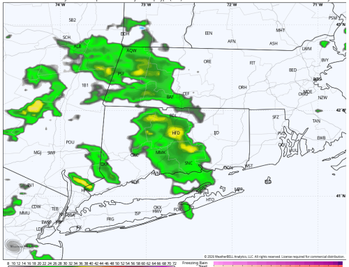
HRRR Model – Future Radar 5AM
With this timing, again want to highlight the primary concern is for rain and wind impacts during the morning commute for anyone that is out on the road… especially early. Conditions will improve through the day, although it will remain breezy through the afternoon.
Stay tuned for any alerts as they arise!