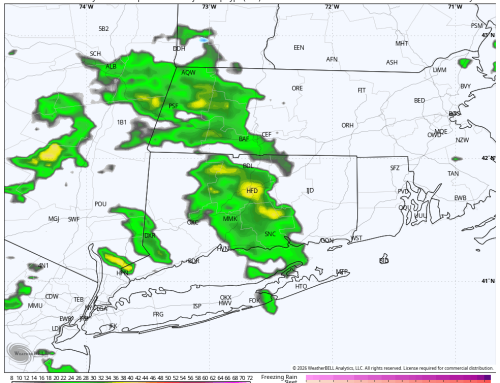
Evening data is in and I see no major changes with the storm. Short range guidance has started coming within range as well, which helps us gain resolution. HRRR model below. Headlines remain the same:
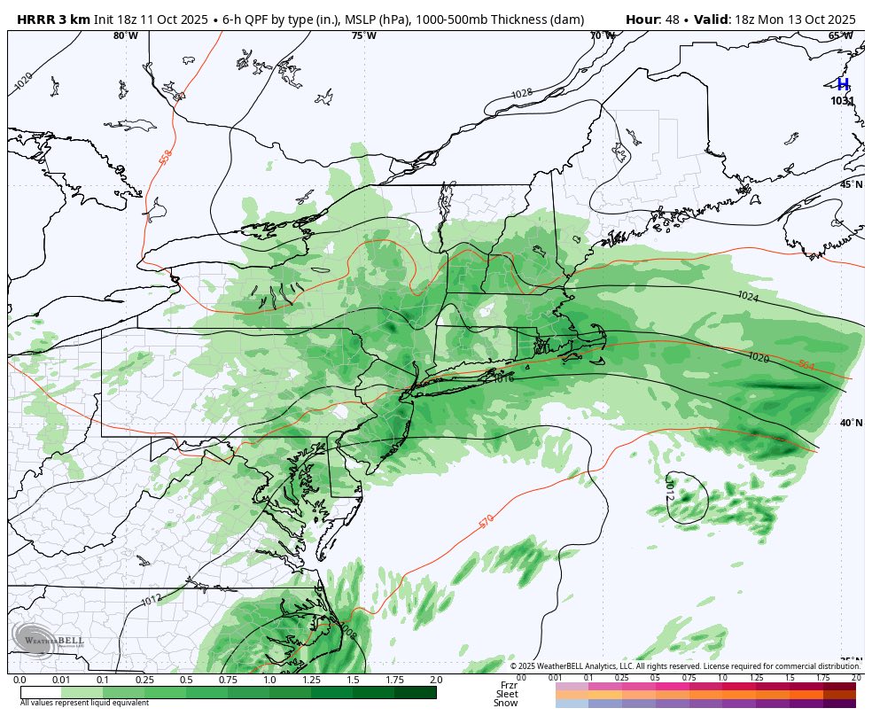
HRRR model showing broad low pressure with periods of rain Monday
afternoon. Partly sunny by Tuesday morning.
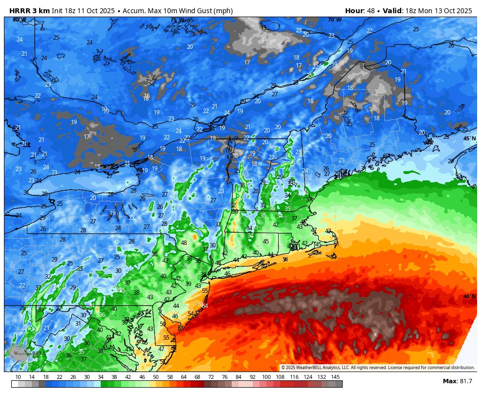
Peak wind gusts – HRRR model
Overall, I don’t think this is a memorable storm, more of just a typical October Nor’easter. Of course, if anything changes either way I’ll have updates.