It was BLAZING HOT TODAY ACROSS CT! Many stations reached 95-101 degrees, but relief is on the horizon. A Heat Advisory remains in effect through Wednesday evening, with temperatures once again soaring into the 90s and heat index values climbing as high as 102°F in some areas. While slightly lower dew points may offer a hint of comfort, the heat risk remains elevated, especially for vulnerable populations.
Wednesday will bring another day of oppressive warmth, with highs ranging from the low to upper 90s depending on location. Coastal areas may see slightly lower heat indices, closer to 95°F, but the overall risk of heat-related illness remains high. Light west to northwest winds will persist through the day, doing little to alleviate the muggy conditions.
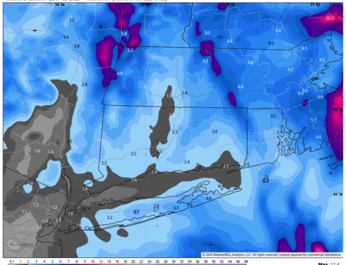
As the sun sets Wednesday evening, changes begin to take shape. Cloud cover will increase, and winds will shift to the northeast overnight in response to an approaching cold front. The combination of lingering heat and elevated humidity could spark isolated thunderstorms during the evening and early overnight hours. While coverage will be limited, any storms that do develop could bring brief downpours and gusty winds. The Storm Prediction Center has placed the region under a Marginal Risk (Level 1 of 5) for severe weather, with damaging winds being the primary concern.
Cooler Days Ahead
The good news? The heat wave is expected to break on Thursday. A cooler maritime air mass will move in behind the front, bringing daytime highs down into the 70s and offering a much-needed reprieve from the recent heat. Friday will be even cooler, with continued easterly flow keeping temperatures below average for this time of year.
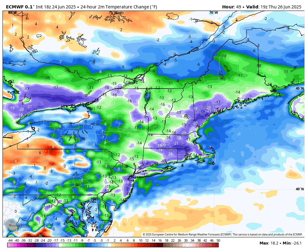
Thursday will be 15 to 20 degrees cooler than Wednesday
However, the break in the heat comes with a trade-off: a more unsettled weather pattern. The frontal boundary will linger near the region through the weekend, bringing increased chances for showers and occasional thunderstorms. By Saturday, the front begins to lift north as a warm front, ushering in a return to more seasonable—and eventually above-normal—temperatures.
Highs will climb back into the 80s over the weekend, with some areas potentially reaching the low 90s by early next week. Dew points will also rise, pushing heat index values back into the mid-90s by Monday and Tuesday. While not as extreme as the current heat wave, the return of heat and humidity will be noticeable.
What to Watch For
- Wednesday: Last day of extreme heat; isolated evening storms possible.
- Thursday–Friday: Cooler, with highs in the 70s and increased cloud cover.
- Weekend into Next Week: Gradual warming trend with unsettled weather and rising humidity.
As always, stay hydrated, limit outdoor activity during peak heat hours, and check on neighbors—especially the elderly and those without air conditioning. Relief is coming, but we’re not quite out of the woods yet.