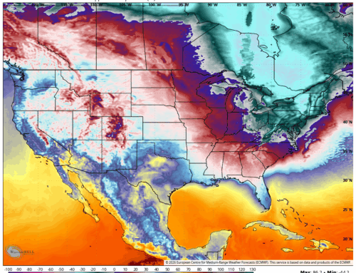
An intense heat wave will begin today across the NE, with dangerous temperatures and oppressive humidity expected to peak between Monday and Wednesday. An Extreme Heat Warning remains in effect midday Sunday through Tuesday for much of the region, including northeastern New Jersey, the Lower Hudson Valley and much of CT. We are off to a cooler start than expected for your Sunday, with a weakening thunderstorm complex known as a MCS (Mesoscale Convective System) bringing clouds and showers. Clouds are expected to decrease by late Sunday morning, with hot and steamy conditions for the afternoon that will carry right into Monday. Heat index values will be particularly hazardous, ranging from 105 to 110 degrees inland and 95 to 105 degrees along the coast. Overnight conditions will offer little relief, with lows only falling into the 70s and some urban centers possibly remaining above 80 degrees.
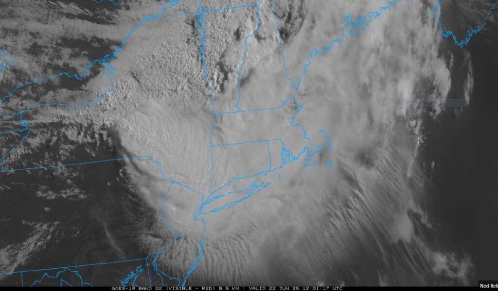
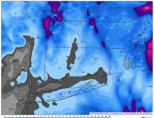
Weakening MCS but still producing lots of showers and storms on the Western flank near Binghamton, NY.
Tuesday is expected to be even hotter, with widespread high temperatures near or above 100 degrees away from the coast. A westerly flow will push the heat toward typically cooler coastal areas, allowing places like SE CT to reach the mid to upper 90s. Although dew points may be slightly lower, the heat index values will remain comparable to Monday’s, maintaining dangerous conditions. Overnight lows will again remain in the mid to upper 70s, continuing the trend of minimal nighttime cooling.
Wednesday is likely to be the final day of the heat wave, though temperatures will still be oppressive. Highs are forecast to reach the upper 90s in the NYC metro area and NE NJ, with lower to mid 90s elsewhere. Coastal Connecticut and eastern Long Island may see slightly cooler conditions, with highs in the mid to upper 80s. Dew points in the mid to upper 60s will keep heat index values in the 95 to 100 degree range—less extreme than earlier in the week but still at advisory levels. The weakening of the upper-level ridge and the approach of a cold front will begin to shift the weather pattern by late Wednesday.
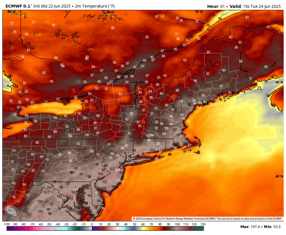
High Temperatures Tuesday – European Model
By Thursday, a more unsettled pattern is expected to take hold as the cold front stalls near the region. This will bring increased chances for showers and thunderstorms and a noticeable cooldown. Highs will drop into the 80s on Thursday, followed by upper 70s to low 80s on Friday. By Saturday, temperatures may dip slightly below normal, with highs in the mid to upper 70s. The lingering frontal boundary will keep conditions unsettled, with continued chances for showers and storms into the weekend.
Residents are strongly urged to take precautions during this extreme heat event. Stay hydrated, avoid strenuous outdoor activity during peak heat hours, and check on vulnerable individuals, especially those without access to air conditioning. This heat wave is expected to be one of the most intense of the season, and caution is essential to avoid heat-related illnesses. The extreme heat can place a significant strain on emergency services across the region. First responders will likely experience a surge in heat-related calls, including cases of heat exhaustion, dehydration, and heat stroke, particularly among vulnerable populations such as the elderly and those without access to air conditioning.
After a recent conversation with local OEMs, they are preparing for EMS units to be dispatched more frequently, and hospitals are preparing for increased patient loads. Fire departments are also on high alert as well. Local OEMs and Municipalities are urging residents to use 911 judiciously and to seek cooling centers if they lack adequate shelter.