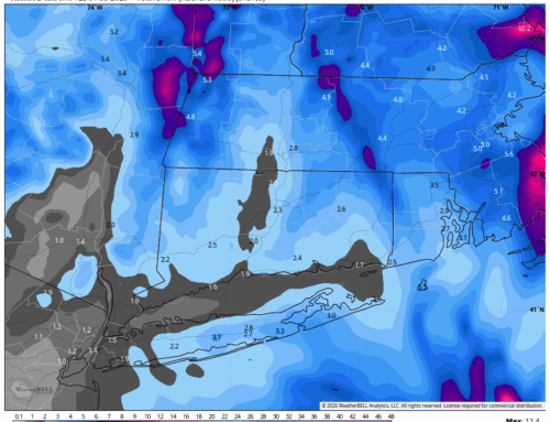
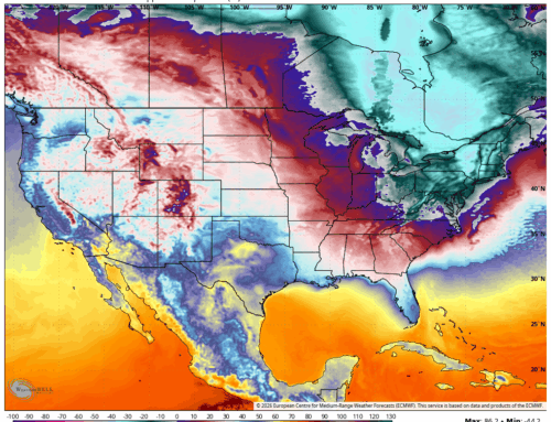
After a relatively cool and rainy start to June across the Northeast, a dramatic shift in the weather pattern is on the horizon. A strong high-amplitude ridge is forecast to build over the eastern United States beginning Sunday, ushering in the hottest air mass of the season so far.
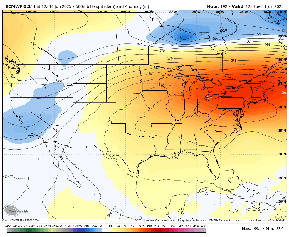
There the heat! Note the strong ridging at 500mb over CT
This developing ridge will take firm control east of the Mississippi River Valley, aligning with the official start of summer and bringing a significant rise in temperatures. Heat indices are expected to climb into the mid to upper 90s—and even exceed 100°F in some areas—particularly from the Mid Atlantic into Southern New England.
Forecast models suggest that Monday will be hot, but Tuesday could be even warmer, with ambient temperatures potentially reaching the century mark in some locations. Dew points in the upper 60s to near 70°F will add to the discomfort, making conditions feel even more oppressive.
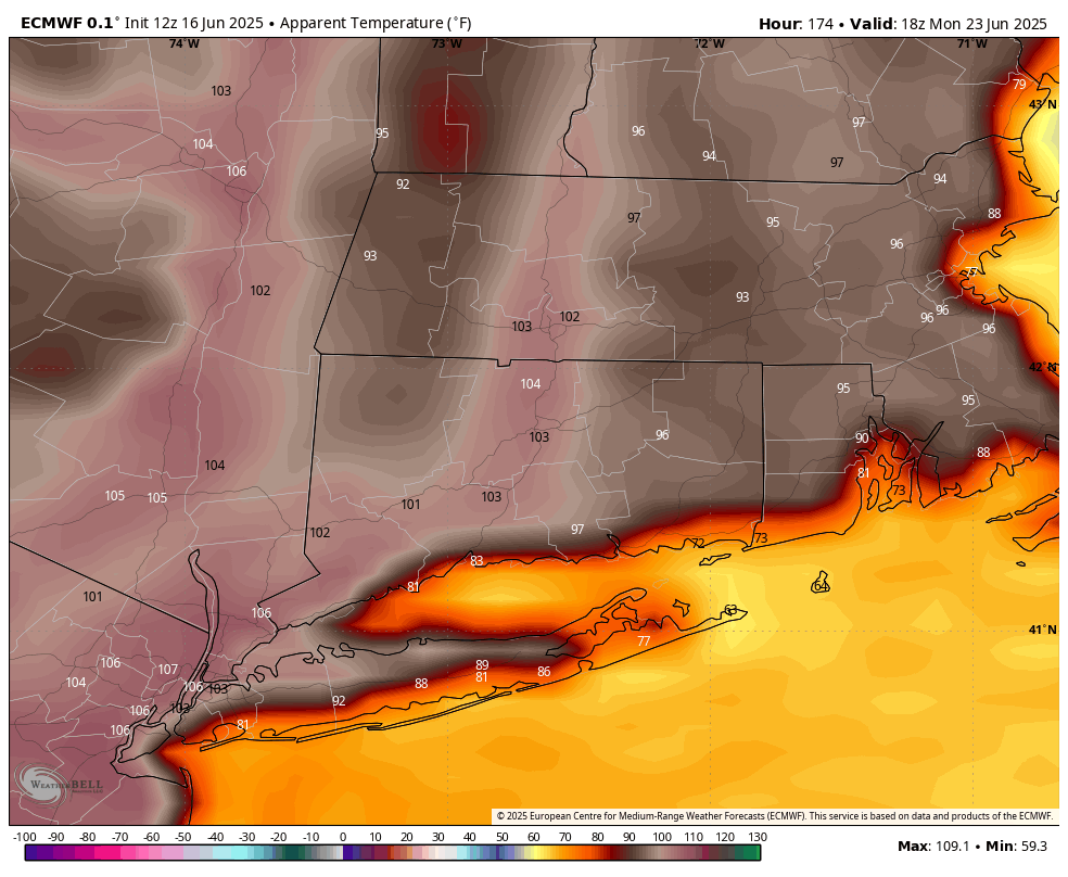
Heat Index next Monday June 23rd
While the National Blend of Models (NBM) shows some variability, the overall trend supports the likelihood of heat advisories or warnings being issued early next week, and excessive heat warnings cannot be ruled out.
Residents and local EMs are advised to prepare for the heat. Folks should stay hydrated, and check on vulnerable populations as the region transitions from a mild early June into a full-blown summer scorcher.