Connecticut is in for a noticeable warm-up midweek as summer-like conditions take hold. After a stretch of cooler, unsettled weather, Wednesday and Thursday will bring the warmest temperatures of the week, with highs climbing well into the 80s and even low 90s in some inland areas.
Behind a departing cold front, Wednesday will feature plenty of sunshine and a light westerly breeze, helping temperatures soar. Dew points will remain relatively low, so while it will be hot, it won’t feel overly humid. Thursday will be even warmer, with some spots potentially reaching the 90 degrees, especially across the interior. It will be a great day for outdoor plans—just be sure to stay hydrated and take breaks in the shade.
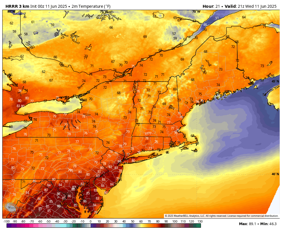
HRRR temps Wednesday afternoon – probably a bit underdone with the June sun angle
A cold front is expected to approach late Thursday night, bringing with it a slight chance of showers or a thunderstorm, mainly overnight into early Friday. While widespread rain isn’t expected, a few areas could see a brief downpour or rumble of thunder.
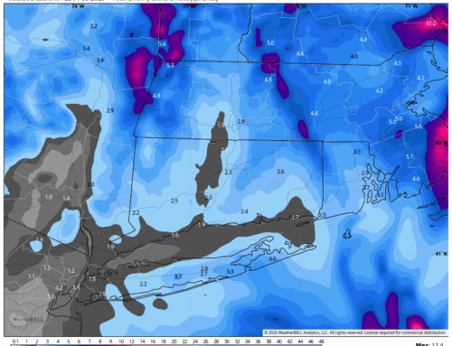
Looking ahead to the weekend, the forecast becomes more uncertain. A frontal boundary is expected to stall to the south, and several waves of low pressure may ride along it. This setup could lead to on-and-off showers from Friday night through early next week. While it won’t be a total washout, periods of rain are possible, especially Saturday and Sunday. The exact position of the front will also influence temperatures, with cooler conditions likely if the front remains nearby.
Stay tuned for updates as the weekend forecast becomes clearer, and enjoy the sunshine and warmth while it lasts!