A cold front will swing into the area Tuesday morning – likely between 6AM and 9AM. This will bring WIND and COLD into CT in a big way. Temperatures likely rise a bit during the day today because of the strong sun angle, but upper 30s to low 40s are likely the extent of the warmth across the region.
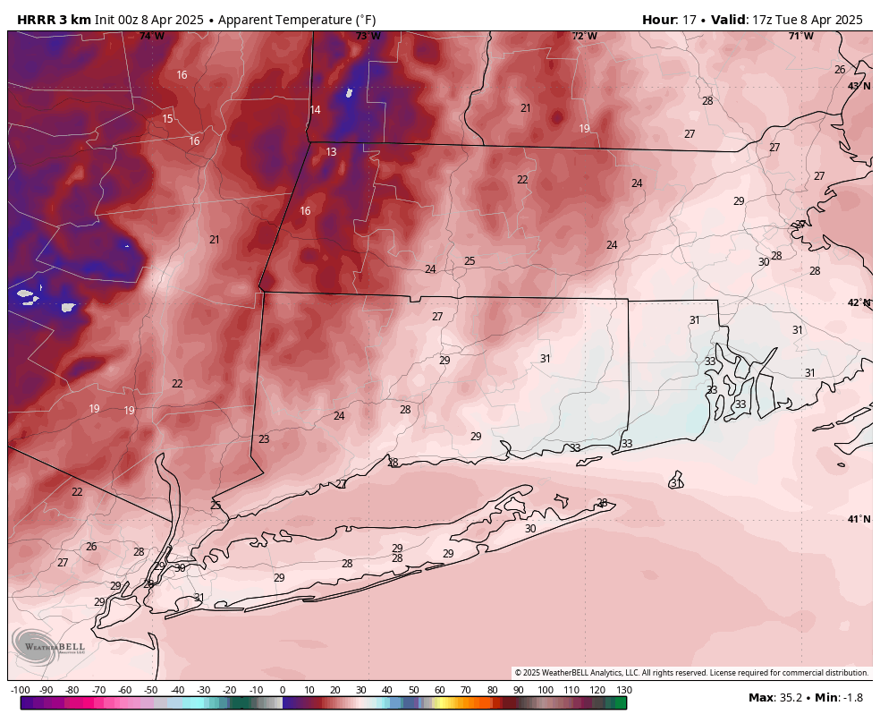
HRRR wind chills 1PM
Winds will begin to ramp at the bus stop and really pick up by midday. Expect peak gusts 35 to 45 mph. This escalates us to a Level 2 on the trash can scale. This will lead to wind chills in the 20s for most of the day.

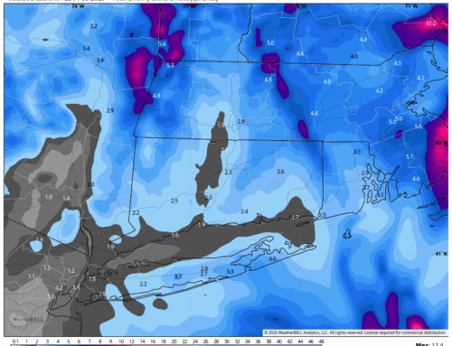
Stay warm and bundle up! Oh.. and there could even be a flurry or snow squall in Northern CT….
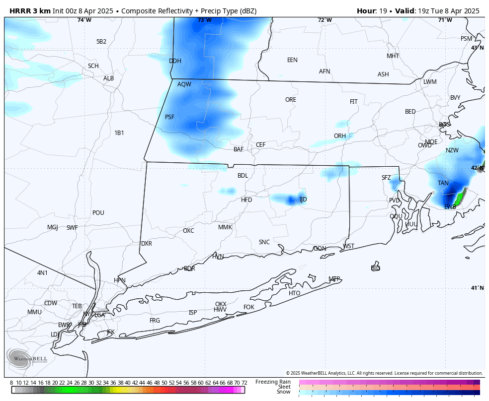
HRRR Future Radar 2PM