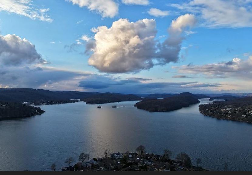
The Candlewood Lake Report offers comprehensive information for those enjoying Connecticut’s largest lake. The page features a real-time weather forecast specific to the lake, including details on temperature, wind, and precipitation. Users can also view approximate water temperatures, making it easy to plan for swimming or water sports. A seasonal boat and recreation forecast provides insights into optimal times for boating, fishing, and other outdoor activities, helping visitors stay informed and safe. Additionally, a gallery of viewer-submitted photos showcases the beauty of the lake, offering a community-driven perspective of Candlewood throughout the year.
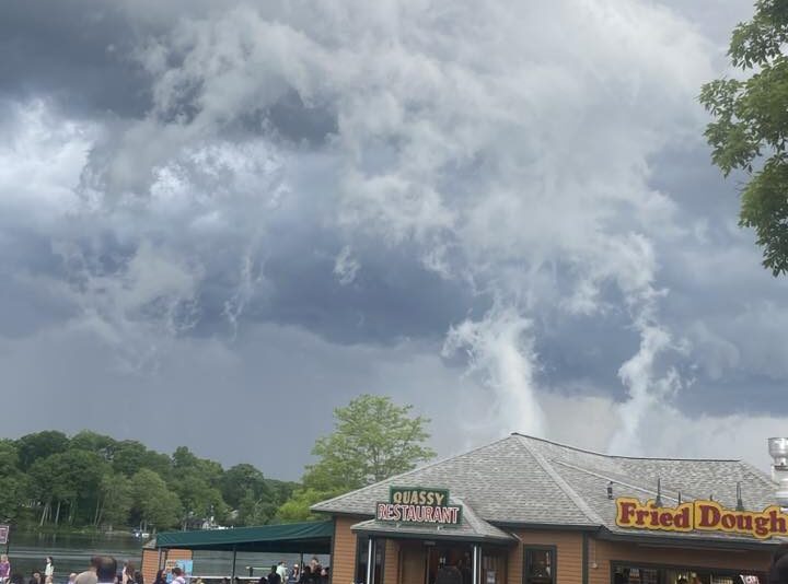
The Middlebury/Lake Quassy Report details information from our exclusive Middlebury Weather Station. The page features comprehensive automatic lightning alerts via our lightning detector, as well as boating and recreation alerts. Additionally, a gallery of viewer-submitted photos showcases the beauty of the lake, offering a community-driven perspective of Quassy throughout the year.
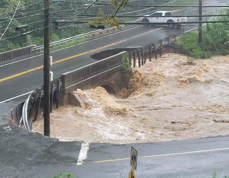
The River and Stream Gauge Map for Connecticut offers a look into real-time monitoring of water levels across the state’s rivers and streams. This interactive map displays data from various U.S. Geological Survey (USGS) and local stream gauges, allowing users to track water conditions and potential flood risks. With a focus on accuracy and accessibility, the map provides easy-to-understand indicators of stream flow, river depth, and water quality. Whether you’re monitoring for recreational purposes, environmental study, or staying ahead of flood conditions, this tool serves as a valuable resource for residents, local authorities, and researchers alike.

The Long Island Sound Marine Forecast Map provides an interactive way to access up-to-date marine forecasts from the National Weather Service (NWS). Users can click on various sections of the Sound to view detailed weather conditions, including wind speeds, wave heights, and visibility, helping boaters, anglers, and coastal residents make informed decisions. Additionally, the map integrates live camera feeds from nearby coastal locations, offering real-time visuals of current conditions. With its easy-to-navigate interface, this tool is essential for anyone needing reliable, on-the-water forecasts or wanting to visually monitor marine and coastal areas in real time.