

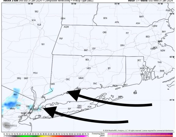
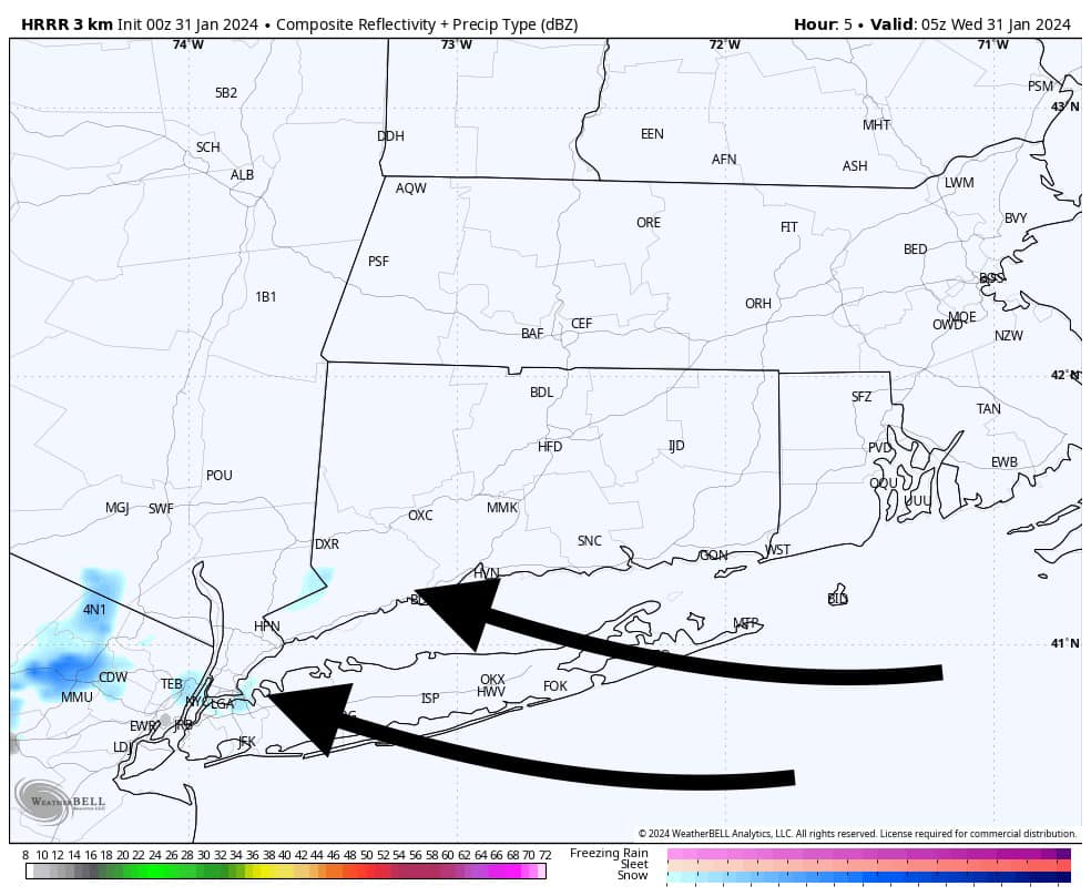
Data coming into the CT Weather Center continues to look alarming regarding a wind and rain event shaping up for Tuesday afternoon through Wednesday. We are leaning high on forecast wording and the potential for societal impact from flood and wind hazards. Wind Advisories and High Wind Warnings have been hoisted area wide, and a Flood Watch is in effect for the entire region. This is the type of storm to take seriously.
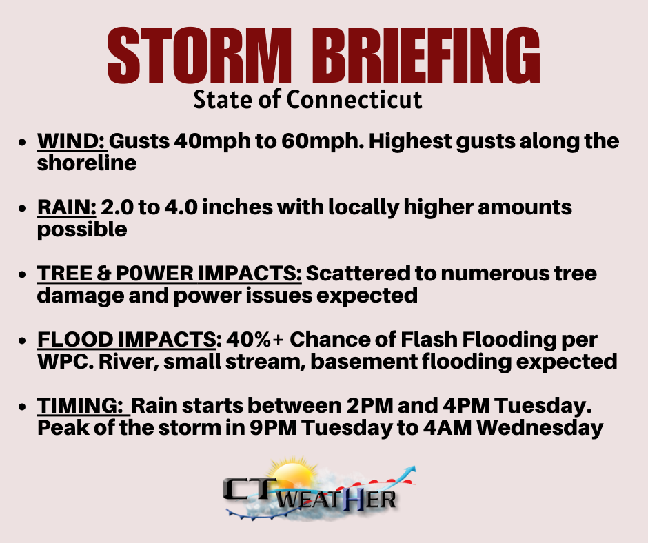
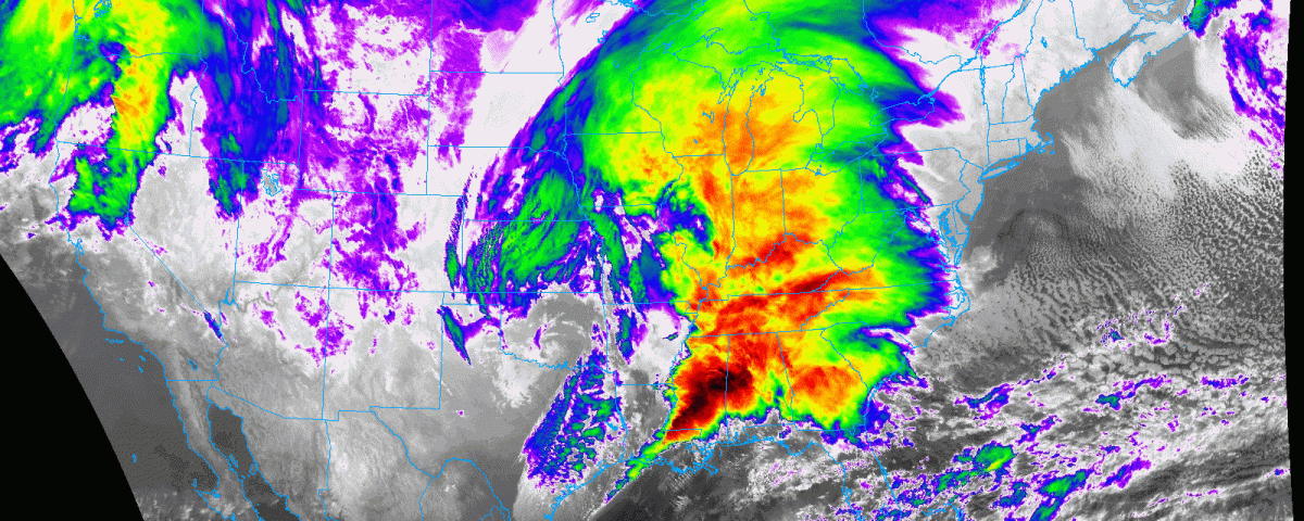
The satellite presentation on this storm is already very impressive (featured image), and it will have a tropical moisture feed leading to PWAT values atypical for January. While this would be an impactful storm in any month, we are especially concerned due to the already high water table and snow on the ground. This will amplify totals for any rain that falls and the risk for flooding throughout Connecticut.
The wind threat is a touch more tricky, with an a strong, stabilizing inversion modeled. While the presence of a strong inversion usually nullifies intense wind gusts, areas that see rapid snowmelt could warm enough mitigate destabilize the atmosphere a bit, allowing stronger wind gusts to mix down. The areas less likely to have this occur are Northern Litchfield and Northern Hartford Counties, where significant snow fell Saturday night and Sunday. These areas actually could even start as a bit of snow with this storm, but its expected to change to rain quickly.